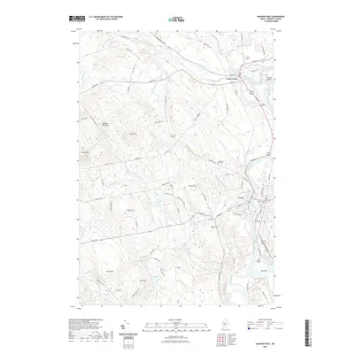
2021 Map of Madison West
USGS Topo · Published 2021About this map
The Carrabassett River joins the Kennebec River at North Anson, where the local road network centers on historic crossroads at Main St and Elm St. Further south, the Sandy River winds toward its confluence near Old Point, a site marked by the Saint Sebastian Cem and Old Point Cem. The terrain is defined by a series of prominent rises including Hilton Hill, Pease Hill, and Holland Waite Hill, while several family and neighborhood burial grounds like Mutton Hill Cem and Athearn Cem are tucked away near the many brooks feeding into the river system. This layout reveals the enduring agricultural and residential patterns of Somerset County, where settlement followed the fertile river valleys and established upland homesteads between drainage systems like Gilman Brook and Mill Stream.
Find a feature on this map
91 named features on this map. Tap any name to fly to it.
Don’t see what you’re looking for? This feature index may not catch every label — zoom into the map to look around manually.
Map Details
Editions of this 2021 Madison West Map
This is the sole edition of this map. No revisions or reprints were ever made.
Other maps of this area

1894 · Norridgewock
USGS Topo · 1:62,500

1898 · Norridgewock
USGS Topo · 1:62,500

1904 · Anson
USGS Topo · 1:62,500

1924 · Farmington
USGS Topo · 1:62,500

1930 · Kingfield
USGS Topo · 1:48,000

1932 · Kingfield
USGS Topo · 1:62,500

1943 · Norridgewock
USGS Topo · 1:62,500

1948 · Bangor
USGS Topo · 1:250,000

1950 · Lewiston
USGS Topo · 1:250,000

1955 · Anson
USGS Topo · 1:62,500