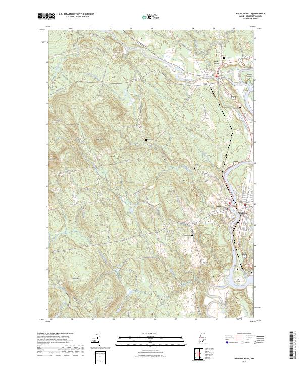
2024 Map of Madison West
USGS Topo · Published 2024About this map
The confluence of the Carrabassett River and Kennebec River forms the geographic heart of this Somerset County landscape, anchoring the historic riverfront settlements of North Anson, Anson, and Madison. This modern record of the river valley illustrates the enduring layout of village centers and rural uplands, where family-named landmarks like Holland Waite Hill and Savage Island persist. Genealogists will find a high density of burial sites including Athearn Cem, Sunset Cem, and Saint Sebastian Cem, which speak to the long-established communities of the central Maine interior. The terrain transitions from the broad floodplains of the Sandy River to the higher elevations of Mt Hunger and Pease Hill, connected by a network of historic roads such as Valley Rd and New Portland Rd that have long facilitated timber and agricultural movement throughout the region.
Find a feature on this map
88 named features on this map. Tap any name to fly to it.
Don’t see what you’re looking for? This feature index may not catch every label — zoom into the map to look around manually.
Map Details
Editions of this 2024 Madison West Map
This is the sole edition of this map. No revisions or reprints were ever made.
Other maps of this area

1894 · Norridgewock
USGS Topo · 1:62,500

1898 · Norridgewock
USGS Topo · 1:62,500

1904 · Anson
USGS Topo · 1:62,500

1924 · Farmington
USGS Topo · 1:62,500

1930 · Kingfield
USGS Topo · 1:48,000

1932 · Kingfield
USGS Topo · 1:62,500

1943 · Norridgewock
USGS Topo · 1:62,500

1948 · Bangor
USGS Topo · 1:250,000

1950 · Lewiston
USGS Topo · 1:250,000

1955 · Anson
USGS Topo · 1:62,500