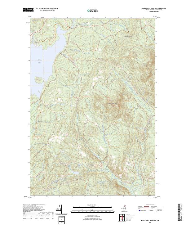
2024 Map of Magalloway Mountain
USGS Topo · Published 2024About this map
The eastern shore of First Connecticut Lake dominates the northwest corner of this terrain, where the headwaters of the Connecticut River begin their southward journey. The landscape is defined by the high elevations of Magalloway Mtn and the long spine of Diamond Ridge, creating a complex network of drainage basins. Numerous brooks, including Merrill Brook and Hellgate Brook, flow through the deep valleys formed by these peaks.
Find a feature on this map
53 named features on this map. Tap any name to fly to it.
Don’t see what you’re looking for? This feature index may not catch every label — zoom into the map to look around manually.
Map Details
Editions of this 2024 Magalloway Mountain Map
This is the sole edition of this map. No revisions or reprints were ever made.
Other maps of this area

1925 · Indian Stream
USGS Topo · 1:48,000

1926 · Indian Stream
USGS Topo · 1:62,500

1927 · Indian Stream
USGS Topo · 1:62,500

1927 · Second Lake
USGS Topo · 1:62,500

1930 · Dixville
USGS Topo · 1:62,500

1930 · Errol
USGS Topo · 1:62,500

1932 · Second Lake
USGS Topo · 1:62,500

1933 · Dixville
USGS Topo · 1:62,500

1934 · Dixville
USGS Topo · 1:62,500

1934 · Errol
USGS Topo · 1:62,500