
1972 Map of Mahogany Mtn
USGS Topo · Published 1976About this map
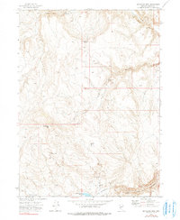
Mahogany Mtn and the surrounding high desert of Washoe County are defined by a network of seasonal water sources and remote cattle camps in this early 1970s survey. The landscape is marked by essential livestock improvements such as Big Mahogany Res and Little High Rock Reservoir, which served as critical anchors for ranching operations in this arid region. The presence of Woodruff Camp and Brush Corral suggests the continued importance of open-range grazing and traditional livestock management long after the initial settlement of Nevada.
Find a feature on this map
21 named features on this map. Tap any name to fly to it.
Don’t see what you’re looking for? This feature index may not catch every label — zoom into the map to look around manually.
Map Details
Editions of this 1972 Mahogany Mtn Map
2 editions found
Other maps of this area

1889 · Long Valley
USGS Topo · 1:250,000

1954 · Vya
USGS Topo · 1:250,000

1958 · Vya
USGS Topo · 1:250,000

1962 · Vya
USGS Topo · 1:250,000

1972 · High Rock Lake
USGS Topo · 1:24,000
1972 · Yellow Hills East
USGS Topo · 1:24,000
1972 · Yellow Hills West
USGS Topo · 1:24,000

1978 · Hart Mountain
USGS Topo · 1:24,000
1979 · Nellie Spring Mtn
USGS Topo · 1:24,000

1979 · Butte Spring
USGS Topo · 1:24,000