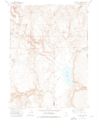
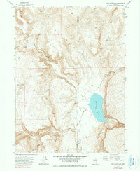
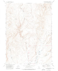
1972 Map of High Rock Lake
USGS Topo · Published 1976About this map
High Rock Lake sits at the center of this 1972 landscape, where the high desert terrain of the Washoe and Humboldt County line is defined by a network of deep drainage systems and seasonal water sources. The map reveals a land utilized for remote ranching and seasonal camps, notably the Mahogany Creek Canyon Camp located near the head of Mahogany Creek Canyon. The intricate drainage patterns are anchored by High Rock Canyon and Little High Rock Canyon, features that have historically served as critical passage points through the northwestern Nevada desert.
Find a feature on this map
22 named features on this map. Tap any name to fly to it.
Don’t see what you’re looking for? This feature index may not catch every label — zoom into the map to look around manually.
Map Details
Editions of this 1972 High Rock Lake Map
2 editions found
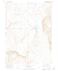
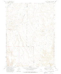
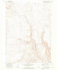
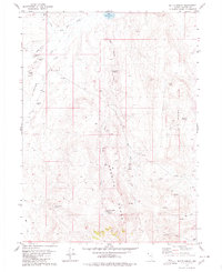
Other maps of this area

1889 · Long Valley
USGS Topo · 1:250,000

1954 · Vya
USGS Topo · 1:250,000

1958 · Vya
USGS Topo · 1:250,000

1962 · Vya
USGS Topo · 1:250,000
1972 · Mud Meadow
USGS Topo · 1:24,000
1972 · Mahogany Mtn
USGS Topo · 1:24,000
1972 · Soldier Meadow
USGS Topo · 1:24,000
1972 · Yellow Hills East
USGS Topo · 1:24,000
1972 · Yellow Hills West
USGS Topo · 1:24,000
1979 · Butte Spring
USGS Topo · 1:24,000