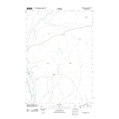
2011 Map of Mahoney Hill
USGS Topo · Published 2011About this map
The Kennebec River corridor defines the western edge of this Somerset County landscape, where the valley floor meets the rising elevations of Mahoney Hill and Johnson Mountain. This 2011 survey documents a rural network of roads and water systems, centered around the settlement at Johnson Corner. The topography is shaped by numerous drainages including the Austin Stream, Gulf Stream, and Jackson Brook, which feed into local basins like Withee Pond and Morse Pond.
Find a feature on this map
35 named features on this map. Tap any name to fly to it.
Don’t see what you’re looking for? This feature index may not catch every label — zoom into the map to look around manually.
Map Details
Editions of this 2011 Mahoney Hill Map
This is the sole edition of this map. No revisions or reprints were ever made.
Other maps of this area

1903 · Bingham
USGS Topo · 1:62,500

1904 · Anson
USGS Topo · 1:62,500

1905 · Bingham
USGS Topo · 1:62,500

1913 · Skowhegan
USGS Topo · 1:62,500

1948 · Bangor
USGS Topo · 1:250,000

1948 · Kingsbury
USGS Topo · 1:62,500

1950 · Kingsbury
USGS Topo · 1:62,500

1954 · Millinocket
USGS Topo · 1:250,000

1955 · Anson
USGS Topo · 1:62,500

1955 · Skowhegan
USGS Topo · 1:62,500