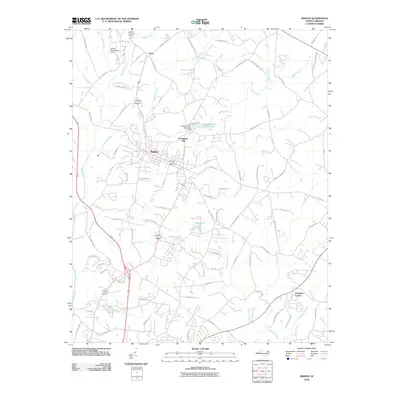
2010 Map of Maiden
USGS Topo · Published 2010About this map
Maiden serves as the central hub of this North Carolina landscape, where early 21st-century residential expansion meets a complex network of Piedmont waterways. The town's layout is defined by its industrial and municipal infrastructure, including the historic Providence Mill and the Maiden Water Plant Lake. This transition from rural to suburban is evident in the surrounding settlements like Pumpkin Center and Duan, which are connected by a dense web of local routes such as Buffalo Shoals Rd and Saint James Church Rd.
Find a feature on this map
83 named features on this map. Tap any name to fly to it.
Don’t see what you’re looking for? This feature index may not catch every label — zoom into the map to look around manually.
Map Details
Editions of this 2010 Maiden Map
This is the sole edition of this map. No revisions or reprints were ever made.
Other maps of this area

1895 · Hickory
USGS Topo · 1:125,000

1909 · Lincolnton
USGS Topo · 1:62,500

1911 · Lincolnton
USGS Topo · 1:62,500

1914 · Gastonia
USGS Topo · 1:48,000

1916 · Gastonia
USGS Topo · 1:62,500

1953 · Charlotte
USGS Topo · 1:250,000

1954 · Charlotte
USGS Topo · 1:250,000

1960 · Charlotte
USGS Topo · 1:250,000

1962 · Charlotte
USGS Topo · 1:250,000
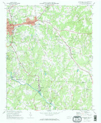
1970 · Lincolnton East
USGS Topo · 1:24,000