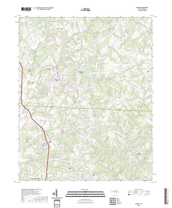
2022 Map of Maiden
USGS Topo · Published 2022About this map
Maiden serves as the primary hub of this North Carolina landscape, situated along the county line between Catawba and Lincoln. The town's infrastructure is anchored by the Maiden Water Plant and the nearby Maiden Water Plant Lake, reflecting the community's localized utility development. To the east, the area known as Providence Mill points to the region's industrial heritage, while small unincorporated communities like Pumpkin Center and Duan dot the outlying rural sections.
Find a feature on this map
233 named features on this map. Tap any name to fly to it.
Don’t see what you’re looking for? This feature index may not catch every label — zoom into the map to look around manually.
Map Details
Editions of this 2022 Maiden Map
This is the sole edition of this map. No revisions or reprints were ever made.
Other maps of this area

1895 · Hickory
USGS Topo · 1:125,000

1909 · Lincolnton
USGS Topo · 1:62,500

1911 · Lincolnton
USGS Topo · 1:62,500

1914 · Gastonia
USGS Topo · 1:48,000

1916 · Gastonia
USGS Topo · 1:62,500

1953 · Charlotte
USGS Topo · 1:250,000

1954 · Charlotte
USGS Topo · 1:250,000

1960 · Charlotte
USGS Topo · 1:250,000

1962 · Charlotte
USGS Topo · 1:250,000
1970 · Lincolnton East
USGS Topo · 1:24,000