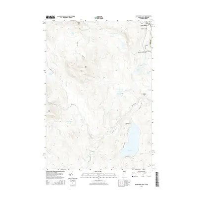
2015 Map of Maidstone Lake
USGS Topo · Published 2015About this map
Maidstone Lake dominates the southeastern quadrant of this terrain, where the state boundary between New Hampshire and Vermont follows the winding course of the river. This landscape is defined by its complex network of mountain streams and glacial ponds, including the high-elevation Notch Pond and Dennis Pond. The eastern edge of the survey captures the transition from the upland heights of West Mtn and Bull Mtn down toward the settlements along the river valley. Sparse development is concentrated near North Stafford and Brunswick Springs, connected by Route 102. Historically significant sites such as the Connecticut Cem and Browns Mill provide touchpoints for local researchers, while the many named camps and trails like S America Camp Trl reflect the area's long-standing use for recreation and timber management.
Find a feature on this map
47 named features on this map. Tap any name to fly to it.
Don’t see what you’re looking for? This feature index may not catch every label — zoom into the map to look around manually.
Map Details
Editions of this 2015 Maidstone Lake Map
This is the sole edition of this map. No revisions or reprints were ever made.
Other maps of this area

1920 · Guildhall
USGS Topo · 1:62,500

1924 · Island Pond
USGS Topo · 1:48,000

1926 · Island Pond
USGS Topo · 1:62,500

1929 · Averill
USGS Topo · 1:62,500

1931 · Guildhall
USGS Topo · 1:48,000

1933 · Guildhall
USGS Topo · 1:48,000

1937 · Guildhall
USGS Topo · 1:62,500

1950 · Lewiston
USGS Topo · 1:250,000

1951 · Burke
USGS Topo · 1:62,500

1953 · Island Pond
USGS Topo · 1:62,500