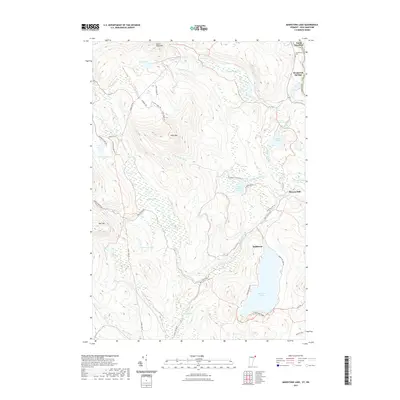
2021 Map of Maidstone Lake
USGS Topo · Published 2021About this map
Maidstone Lake dominates the southeastern quadrant of this terrain, its deep basin surrounded by a dense network of logging trails and forest roads. The landscape is defined by its significant wetlands and isolated peaks, including the high ridges of West Mtn and Notch Pond Mtn. To the north, the winding course of the Connecticut River separates Vermont and New Hampshire, serving as the backdrop for the settlements of North Stratford and Brunswick Springs.
Find a feature on this map
51 named features on this map. Tap any name to fly to it.
Don’t see what you’re looking for? This feature index may not catch every label — zoom into the map to look around manually.
Map Details
Editions of this 2021 Maidstone Lake Map
This is the sole edition of this map. No revisions or reprints were ever made.
Other maps of this area

1920 · Guildhall
USGS Topo · 1:62,500

1924 · Island Pond
USGS Topo · 1:48,000

1926 · Island Pond
USGS Topo · 1:62,500

1929 · Averill
USGS Topo · 1:62,500

1931 · Guildhall
USGS Topo · 1:48,000

1933 · Guildhall
USGS Topo · 1:48,000

1937 · Guildhall
USGS Topo · 1:62,500

1950 · Lewiston
USGS Topo · 1:250,000

1951 · Burke
USGS Topo · 1:62,500

1953 · Island Pond
USGS Topo · 1:62,500