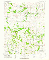
1961 Map of Main City
USGS Topo · Published 1962About this map
The boundary line between Cass Co Bates Co divides this rural landscape, where small agricultural hubs and community landmarks define the local geography. Small settlements like Main City and Burdett serve as anchors for the surrounding townships of East Boone and Deer Creek. Local education and social life are marked by distributed facilities such as the Main City Sch, Everett Sch, and Green Valley Sch, alongside the Fairview Ch and Burdett Cem..
Find a feature on this map
23 named features on this map. Tap any name to fly to it.
Don’t see what you’re looking for? This feature index may not catch every label — zoom into the map to look around manually.
Map Details
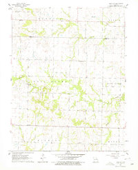
Editions of this 1961 Main City Map
2 editions found
Other maps of this area

1887 · Harrisonville
USGS Topo · 1:125,000

1887 · Olathe
USGS Topo · 1:125,000

1887 · Butler
USGS Topo · 1:125,000

1887 · Mound City
USGS Topo · 1:125,000

1892 · Harrisonville
USGS Topo · 1:125,000

1893 · Mound City
USGS Topo · 1:125,000

1893 · Olathe
USGS Topo · 1:125,000

1894 · Harrisonville
USGS Topo · 1:125,000

1894 · Butler
USGS Topo · 1:125,000

1947 · Lawrence
USGS Topo · 1:250,000