
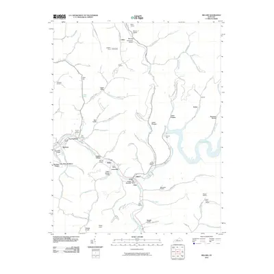
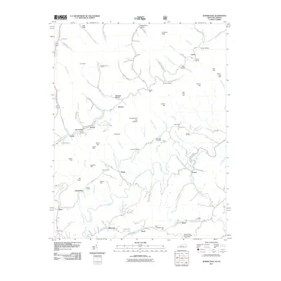
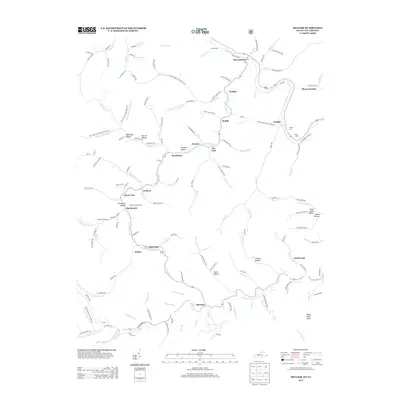
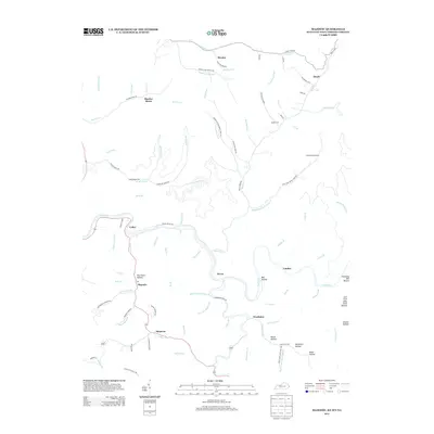
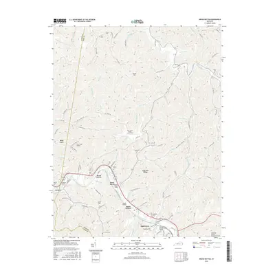
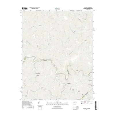
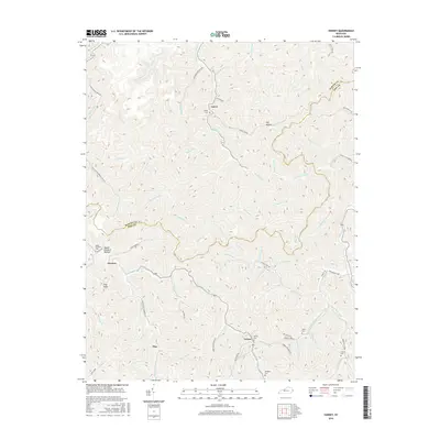
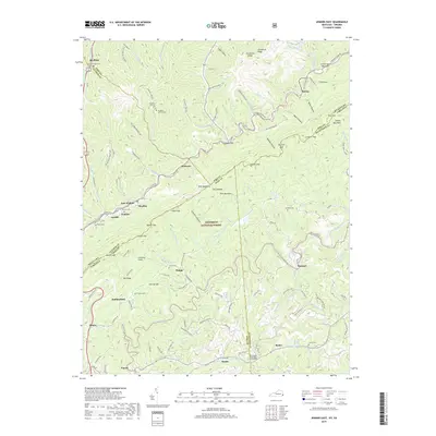
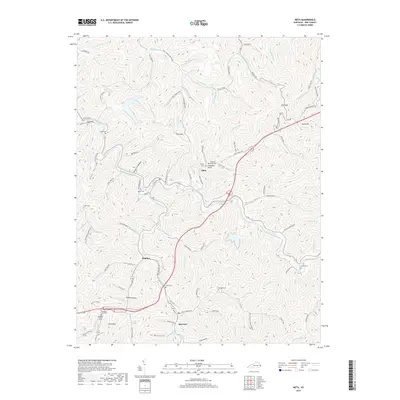
2022 Map of Majestic
USGS Topo · Published 2022About this map
The Tug Fork river defines the winding border between Kentucky and West Virginia, carving a deep path through the coal-rich Appalachians. This survey highlights the tight-knit settlements of Majestic, Devon, and Stopover tucked into the hollows of Pike County. The landscape is a complex network of mountain drainage, with significant coal history evident at Thacker Mines and the various branches of Mate Cr and Beech Cr.
Find a feature on this map
105 named features on this map. Tap any name to fly to it.
Don’t see what you’re looking for? This feature index may not catch every label — zoom into the map to look around manually.
Map Details
Editions of this 2022 Majestic Map
This is the sole edition of this map. No revisions or reprints were ever made.
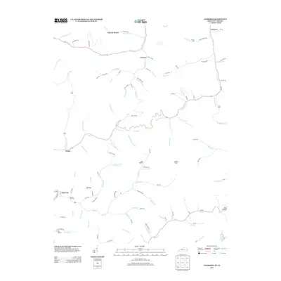
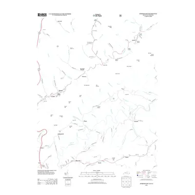
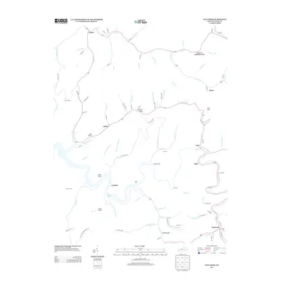
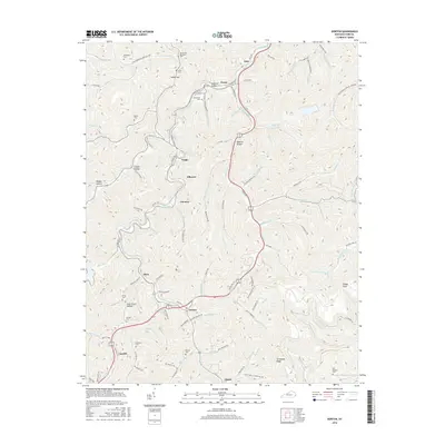
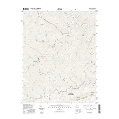
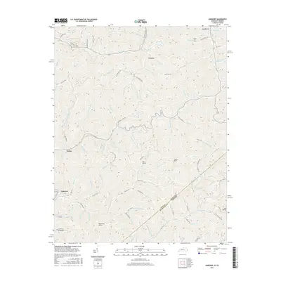
Historical Maps of Woodman Through Time
72 maps found

1914 Vergie
Pike County, KY

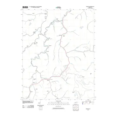
1915 Regina
Pike County, KY

1917 Regina
Pike County, KY

1954 Broad Bottom
Pike County, KY

1954 Dorton
Pike County, KY

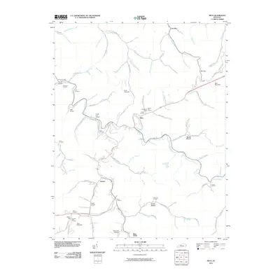
1954 Hellier
Pike County, KY

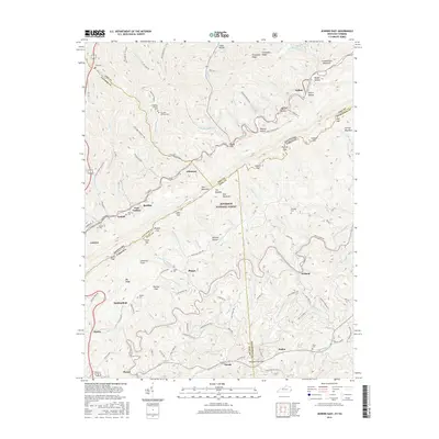
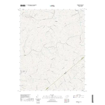
1954 Jamboree
Pike County, KY

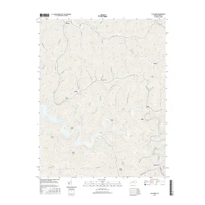
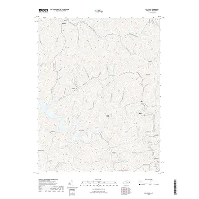
1954 Lick Creek
Pike County, KY

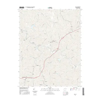
1954 Meta
Pike County, KY

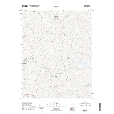
1954 Millard
Pike County, KY

1954 Varney
Pike County, KY

1963 Jamboree
Pike County, KY

1978 Lick Creek
Pike County, KY

1978 Meta
Pike County, KY

1978 Millard
Pike County, KY

1979 Broad Bottom
Pike County, KY

1992 Broad Bottom
Pike County, KY

1992 Dorton
Pike County, KY

1992 Jenkins East
Pike County, KY

1992 Meta
Pike County, KY

1992 Varney
Pike County, KY

2001 Majestic
Pike County, KY
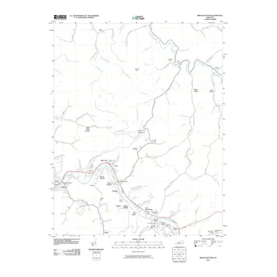
2010 Broad Bottom
Pike County, KY
2010 Dorton
Pike County, KY
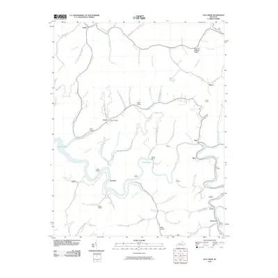
2010 Lick Creek
Pike County, KY
2010 Meta
Pike County, KY
2010 Millard
Pike County, KY
2010 Varney
Pike County, KY
2011 Hellier
Pike County, KY
2011 Jamboree
Pike County, KY
2011 Jenkins East
Pike County, KY
2011 Majestic
Pike County, KY
2013 Broad Bottom
Pike County, KY
2013 Dorton
Pike County, KY
2013 Hellier
Pike County, KY
2013 Jamboree
Pike County, KY
2013 Jenkins East
Pike County, KY
2013 Lick Creek
Pike County, KY
2013 Majestic
Pike County, KY
2013 Meta
Pike County, KY
2013 Millard
Pike County, KY
2013 Varney
Pike County, KY
2016 Broad Bottom
Pike County, KY
2016 Dorton
Pike County, KY
2016 Hellier
Pike County, KY
2016 Jamboree
Pike County, KY
2016 Jenkins East
Pike County, KY
2016 Lick Creek
Pike County, KY
2016 Majestic
Pike County, KY
2016 Meta
Pike County, KY

2016 Millard
Pike County, KY
2016 Varney
Pike County, KY
2019 Broad Bottom
Pike County, KY
2019 Dorton
Pike County, KY
2019 Hellier
Pike County, KY
2019 Jamboree
Pike County, KY
2019 Jenkins East
Pike County, KY
2019 Lick Creek
Pike County, KY
2019 Majestic
Pike County, KY
2019 Meta
Pike County, KY
2019 Millard
Pike County, KY
2019 Varney
Pike County, KY

2022 Broad Bottom
Pike County, KY
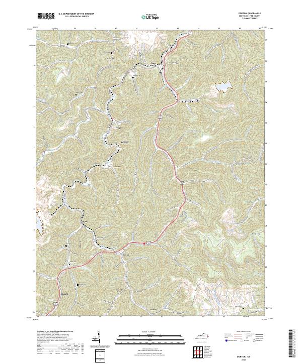
2022 Dorton
Pike County, KY
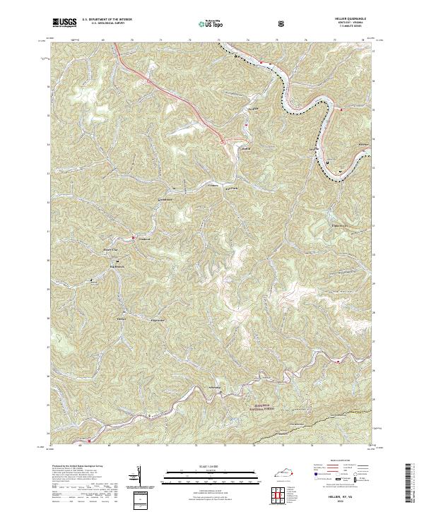
2022 Hellier
Pike County, KY

2022 Jamboree
Pike County, KY
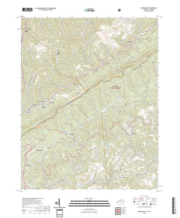
2022 Jenkins East
Pike County, KY

2022 Lick Creek
Pike County, KY
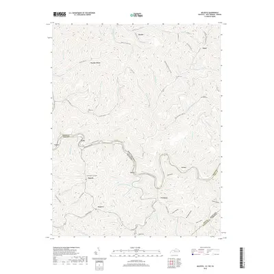
2022 Majestic
Pike County, KY

2022 Meta
Pike County, KY

2022 Millard
Pike County, KY

2022 Varney
Pike County, KY