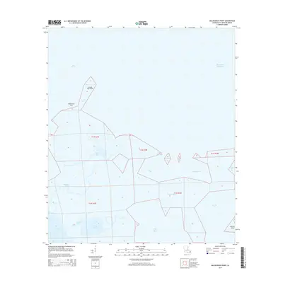
2015 Map of Malheureux Point
USGS Topo · Published 2015About this map
Malheureux Point stands as a prominent coastal landmark where the waters of Lake Borgne meet the Gulf of Mexico along the eastern edge of Saint Bernard Parish. This coastal landscape is defined by an intricate network of marshes and water passages, including the narrow Le Petit Pass which separates the mainland from Le Petit Pass Island. The interior geography reveals a series of tidal waterways such as Bayou La Fee and Ninemile Bayou, illustrating the dynamic interface between Louisiana's wetlands and the sea. The 2015 survey documents the complex hydrological patterns of the area, featuring named basins like False Mouth Bay and the curiously named Whiskey Bayou. Further south, the Lakes of Bayou Marron and Trappers Bayou reflect the traditional coastal activities of the region. This map serves as a primary record of the delicate marshland topography, capturing the precise positioning of Raccoon Island and the various inlets that facilitate water exchange across this fragile maritime environment.
Find a feature on this map
22 named features on this map. Tap any name to fly to it.
Don’t see what you’re looking for? This feature index may not catch every label — zoom into the map to look around manually.
Map Details
Editions of this 2015 Malheureux Point Map
This is the sole edition of this map. No revisions or reprints were ever made.
Other maps of this area

1893 · Rigolets
USGS Topo · 1:62,500

1893 · Shell Beach
USGS Topo · 1:62,500

1893 · Toulme
USGS Topo · 1:62,500

1895 · Bodreau
USGS Topo · 1:62,500

1935 · English Lookout
USGS Topo · 1:31,680

1935 · Grand Island Pass
USGS Topo · 1:31,680

1936 · Rigolets
USGS Topo · 1:62,500

1939 · Shell Beach
USGS Topo · 1:62,500

1941 · Shell Beach
USGS Topo · 1:62,500

1946 · Oak Mound Bayou
USGS Topo · 1:31,680