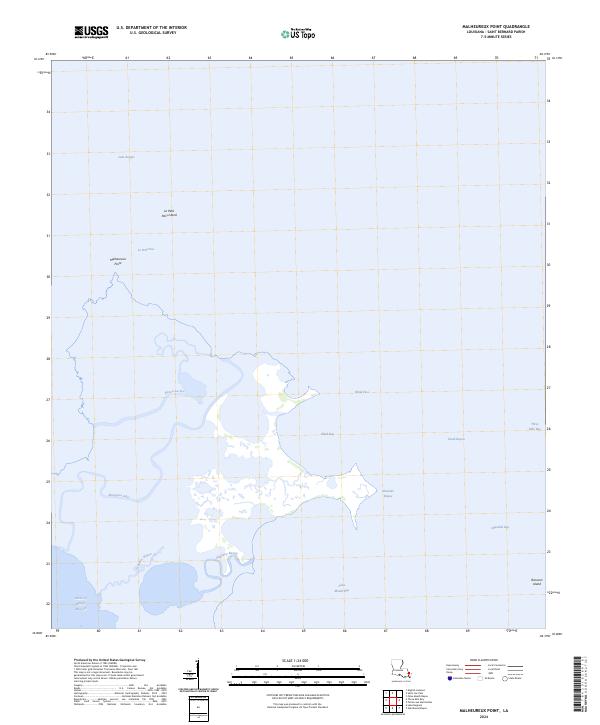
2024 Map of Malheureux Point
USGS Topo · Published 2024About this map
Malheureux Point and its complex network of marshland waterways dominate this coastal reach of St. Bernard Parish. The landscape is a fragile mosaic of brackish inlets and low-lying landforms where Lake Borgne meets the inner marshes. Surveyed in 2024, the map reveals the intricate hydrology of the region, from the winding path of Whiskey Bayou to the expansive waters of Ninemile Bay. The isolation of the terrain is marked by land features like Le Petit Pass Island and Raccoon Island, which act as natural barriers against the open water.
Find a feature on this map
22 named features on this map. Tap any name to fly to it.
Don’t see what you’re looking for? This feature index may not catch every label — zoom into the map to look around manually.
Map Details
Editions of this 2024 Malheureux Point Map
This is the sole edition of this map. No revisions or reprints were ever made.
Other maps of this area

1893 · Rigolets
USGS Topo · 1:62,500

1893 · Shell Beach
USGS Topo · 1:62,500

1893 · Toulme
USGS Topo · 1:62,500

1895 · Bodreau
USGS Topo · 1:62,500

1935 · English Lookout
USGS Topo · 1:31,680

1935 · Grand Island Pass
USGS Topo · 1:31,680

1936 · Rigolets
USGS Topo · 1:62,500

1939 · Shell Beach
USGS Topo · 1:62,500

1941 · Shell Beach
USGS Topo · 1:62,500

1946 · Oak Mound Bayou
USGS Topo · 1:31,680