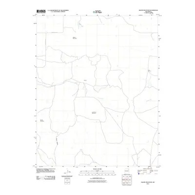
2010 Map of Malpie Mountain
USGS Topo · Published 2010About this map
Malpie Mountain and Lonesome Mountain rise from this high plateau in Union County, marking a landscape defined by volcanic landforms and seasonal drainages. Near the center of the sheet, the settlement of Maverick sits at a junction of tracks just north of Carrizo Creek. This drainage, along with the headwaters of Barela Canyon, provides the primary topographic relief in a region largely dedicated to ranching. Evidence of this rural water infrastructure is visible through landmarks like Rosey Windmill and the small catchment at Malpie Lake. The road network, including County Hwy A-045 and County Hwy A-044, follows the natural contours of the terrain, connecting isolated ranching outposts and grazing lands in the northeastern corner of the state.
Find a feature on this map
11 named features on this map. Tap any name to fly to it.
Don’t see what you’re looking for? This feature index may not catch every label — zoom into the map to look around manually.
Map Details
Editions of this 2010 Malpie Mountain Map
This is the sole edition of this map. No revisions or reprints were ever made.
Other maps of this area

1954 · Raton
USGS Topo · 1:250,000

1954 · Dalhart
USGS Topo · 1:250,000

1958 · Raton
USGS Topo · 1:250,000

1958 · Dalhart
USGS Topo · 1:250,000

1962 · Dalhart
USGS Topo · 1:250,000

1971 · Kiowa
USGS Topo · 1:24,000

1971 · Palo Blanco Mountain
USGS Topo · 1:24,000

1972 · Little Grande
USGS Topo · 1:24,000

1972 · Capulin
USGS Topo · 1:24,000

1972 · Malpie Mountain
USGS Topo · 1:24,000