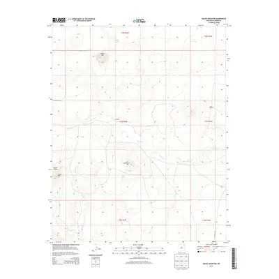
2013 Map of Malpie Mountain
USGS Topo · Published 2013About this map
Malpie Mtn and Lonesome Mtn dominate this high-plains landscape in Union County, where the topography of northeastern New Mexico is defined by volcanic features and seasonal watercourses. The drainage patterns are clear, with Carrizo Cr winding eastward across the center of the sheet, joined by smaller tributaries like Barela Cr and Armijo Cr. This ranching country is punctuated by the isolated settlement of Maverick, situated near the confluence of several draws.
Find a feature on this map
20 named features on this map. Tap any name to fly to it.
Don’t see what you’re looking for? This feature index may not catch every label — zoom into the map to look around manually.
Map Details
Editions of this 2013 Malpie Mountain Map
This is the sole edition of this map. No revisions or reprints were ever made.
Other maps of this area

1954 · Raton
USGS Topo · 1:250,000

1954 · Dalhart
USGS Topo · 1:250,000

1958 · Raton
USGS Topo · 1:250,000

1958 · Dalhart
USGS Topo · 1:250,000

1962 · Dalhart
USGS Topo · 1:250,000

1971 · Kiowa
USGS Topo · 1:24,000

1971 · Palo Blanco Mountain
USGS Topo · 1:24,000

1972 · Little Grande
USGS Topo · 1:24,000

1972 · Capulin
USGS Topo · 1:24,000

1972 · Malpie Mountain
USGS Topo · 1:24,000