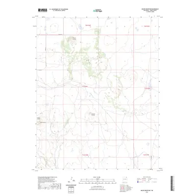
2023 Map of Malpie Mountain
USGS Topo · Published 2023About this map
Malpie Mountain and Lonesome Mountain anchor this high-elevation landscape in northeastern New Mexico. This survey captures a terrain defined by isolated volcanic peaks and deep drainage systems, including the headwaters of Carrizo Creek and the southern reaches of Moore Lake. The map reveals a land divided by township and range lines, where human presence is primarily marked by sparse infrastructure like Kennedy Rd and Co Rd A009. To the west, the topographic relief intensifies at Barela Mountain and the steep walls of Barela Canyon, which feed seasonal watercourses such as Barela Creek. This area of Union County reflects the characteristic isolation of the high plains, where named landmarks often serve as essential navigational points for ranchers and travelers moving across the drainage basins of Armijo Creek.
Find a feature on this map
17 named features on this map. Tap any name to fly to it.
Don’t see what you’re looking for? This feature index may not catch every label — zoom into the map to look around manually.
Map Details
Editions of this 2023 Malpie Mountain Map
This is the sole edition of this map. No revisions or reprints were ever made.
Other maps of this area

1954 · Raton
USGS Topo · 1:250,000

1954 · Dalhart
USGS Topo · 1:250,000

1958 · Raton
USGS Topo · 1:250,000

1958 · Dalhart
USGS Topo · 1:250,000

1962 · Dalhart
USGS Topo · 1:250,000

1971 · Kiowa
USGS Topo · 1:24,000

1971 · Palo Blanco Mountain
USGS Topo · 1:24,000

1972 · Little Grande
USGS Topo · 1:24,000

1972 · Capulin
USGS Topo · 1:24,000

1972 · Malpie Mountain
USGS Topo · 1:24,000