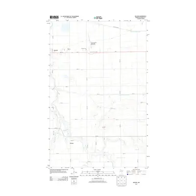
2013 Map of Malung
USGS Topo · Published 2013About this map
The Roseau River meanders across this northern Minnesota landscape, defining the character of a region where agriculture and aviation meet. The northern edge features the expanding footprint of Roseau, home to the Roseau Municipal Airport/Rudy Billberg Field and several residential developments like Oak Manor Trailer Ct. To the south, the settlement of Malung sits near the confluence of the river and Sucker Cr, representing a quieter rural community centered around family history and land stewardship.
Find a feature on this map
36 named features on this map. Tap any name to fly to it.
Don’t see what you’re looking for? This feature index may not catch every label — zoom into the map to look around manually.
Map Details
Editions of this 2013 Malung Map
This is the sole edition of this map. No revisions or reprints were ever made.
Other maps of this area

1918 · Goos
USGS Topo · 1:62,500

1918 · Pencer
USGS Topo · 1:62,500

1918 · Roseau
USGS Topo · 1:62,500

1918 · Garland
USGS Topo · 1:62,500

1943 · Goos
USGS Topo · 1:62,500

1954 · Roseau
USGS Topo · 1:250,000

1957 · Roseau
USGS Topo · 1:250,000

1958 · Roseau
USGS Topo · 1:250,000

1966 · Salol NW
USGS Topo · 1:24,000

1966 · Malung
USGS Topo · 1:24,000