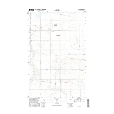
2016 Map of Malung
USGS Topo · Published 2016About this map
Roseau sits in the northwestern corner of this Minnesota landscape, where the land begins its transition toward the settlement of Malung. The terrain is defined by a complex network of natural and engineered waterways, including the winding Roseau River and its various tributaries like S Fork Roseau River, Cow Cr, and Bear Cr. These natural streams are supplemented by early drainage infrastructure such as County Ditch Number Seven and County Ditch Number Eleven, reflecting the region's historical efforts to manage its low-lying, often-saturated soils for agricultural use.
Find a feature on this map
47 named features on this map. Tap any name to fly to it.
Don’t see what you’re looking for? This feature index may not catch every label — zoom into the map to look around manually.
Map Details
Editions of this 2016 Malung Map
This is the sole edition of this map. No revisions or reprints were ever made.
Other maps of this area

1918 · Goos
USGS Topo · 1:62,500

1918 · Pencer
USGS Topo · 1:62,500

1918 · Roseau
USGS Topo · 1:62,500

1918 · Garland
USGS Topo · 1:62,500

1943 · Goos
USGS Topo · 1:62,500

1954 · Roseau
USGS Topo · 1:250,000

1957 · Roseau
USGS Topo · 1:250,000

1958 · Roseau
USGS Topo · 1:250,000

1966 · Salol NW
USGS Topo · 1:24,000

1966 · Malung
USGS Topo · 1:24,000