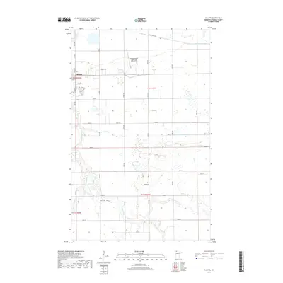
2019 Map of Malung
USGS Topo · Published 2019About this map
Roseau and the smaller settlement of Malung anchor this northern Minnesota landscape, where the meandering path of the Roseau River dominates the western topography. The area is defined by its extensive water management systems, including County Ditch Number Seven and County Ditch Number Eleven, which underscore the region's agricultural drainage needs. Local aviation history is represented by the Roseau Municipal Airport/Rudy Billberg Field, situated near the headwaters of Hay Cr. For those tracing local roots, the map identifies several key community landmarks such as Spruce Cem and Malung Cem. The terrain remains largely level, punctuated only by subtle elevations like Mt Roseau, while a network of rural routes like Co RD 28 and Co HWY 31 connect the scattered farmsteads and creek crossings of Sucker Cr and Bear Cr.
Find a feature on this map
89 named features on this map. Tap any name to fly to it.
Don’t see what you’re looking for? This feature index may not catch every label — zoom into the map to look around manually.
Map Details
Editions of this 2019 Malung Map
This is the sole edition of this map. No revisions or reprints were ever made.
Other maps of this area

1918 · Goos
USGS Topo · 1:62,500

1918 · Pencer
USGS Topo · 1:62,500

1918 · Roseau
USGS Topo · 1:62,500

1918 · Garland
USGS Topo · 1:62,500

1943 · Goos
USGS Topo · 1:62,500

1954 · Roseau
USGS Topo · 1:250,000

1957 · Roseau
USGS Topo · 1:250,000

1958 · Roseau
USGS Topo · 1:250,000

1966 · Salol NW
USGS Topo · 1:24,000

1966 · Malung
USGS Topo · 1:24,000