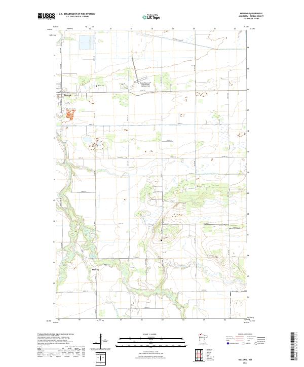
2022 Map of Malung
USGS Topo · Published 2022About this map
Roseau and the smaller settlement of Malung anchor this corner of northern Minnesota, where the landscape is defined by a complex network of agricultural drainage and natural waterways. The Roseau River and its S Fork Roseau River wind through the township lines, joined by Bear Cr, Sucker Cr, and Cow Cr. This modern survey reveals how the local economy and infrastructure are managed through engineered systems like County Ditch Number Eleven and County Ditch Number Seven, which channel water across the low-lying terrain.
Find a feature on this map
53 named features on this map. Tap any name to fly to it.
Don’t see what you’re looking for? This feature index may not catch every label — zoom into the map to look around manually.
Map Details
Editions of this 2022 Malung Map
This is the sole edition of this map. No revisions or reprints were ever made.
Other maps of this area

1918 · Goos
USGS Topo · 1:62,500

1918 · Pencer
USGS Topo · 1:62,500

1918 · Roseau
USGS Topo · 1:62,500

1918 · Garland
USGS Topo · 1:62,500

1943 · Goos
USGS Topo · 1:62,500

1954 · Roseau
USGS Topo · 1:250,000

1957 · Roseau
USGS Topo · 1:250,000

1958 · Roseau
USGS Topo · 1:250,000

1966 · Salol NW
USGS Topo · 1:24,000

1966 · Malung
USGS Topo · 1:24,000