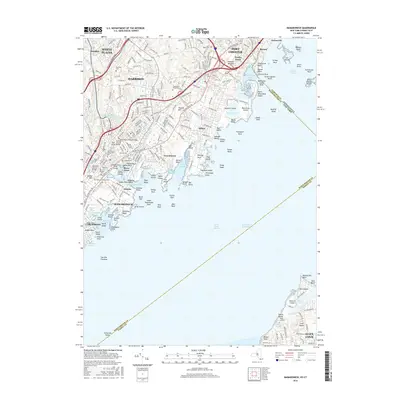
2016 Map of Mamaroneck
USGS Topo · Published 2016About this map
Mamaroneck and the surrounding Westchester County shoreline are defined by a dense network of suburban development and historical burial grounds. The landscape is dotted with several significant cemeteries, including the Old Town of Mamaroneck Cem and the Greenwood Union Cem, which offer significant genealogical value for the region. Along the coast of Long Island Sound, the intricate geography of Milton Harbor and Mamaroneck Harbor reveals a legacy of maritime activity and private estates, while the Van Amringe Millpond provides a connection to the area's early industrial history. The Metro-North railroad line bisects the residential centers of Harrison and Port Chester, following a corridor that has long driven the growth of these communities. To the south, the map extends across the water to include a portion of Nassau County near Glen Cove, where the Webb Institute stands on the coast of Dosoris Pond.
Find a feature on this map
125 named features on this map. Tap any name to fly to it.
Don’t see what you’re looking for? This feature index may not catch every label — zoom into the map to look around manually.
Map Details
Editions of this 2016 Mamaroneck Map
This is the sole edition of this map. No revisions or reprints were ever made.
Other maps of this area

1891 · Harlem
USGS Topo · 1:62,500

1892 · Stamford
USGS Topo · 1:62,500

1892 · Tarrytown
USGS Topo · 1:62,500

1893 · Stamford
USGS Topo · 1:62,500

1893 · Tarrytown
USGS Topo · 1:62,500

1897 · Harlem
USGS Topo · 1:62,500

1897 · Oyster Bay
USGS Topo · 1:62,500

1898 · Harlem
USGS Topo · 1:62,500

1898 · Oyster Bay
USGS Topo · 1:62,500

1899 · Stamford
USGS Topo · 1:62,500