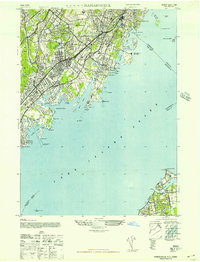
1947 Map of Mamaroneck
USGS Topo · Published 1947About this map
The gold coast of Westchester County and the northern tip of Nassau County meet across the Long Island Sound in this post-war landscape. Prominent family estates and recreational landmarks define the shoreline, from the extensive Pratts Estate and Maxwell Estate near Glen Cove to the amusement grounds at Playland in Rye. Inland, the suburban development of Harrison, Mamaroneck, and Larchmont is well-established, supported by the New York New Haven and Hartford Railroad and the emerging automotive corridors of the Hutchinson River Parkway and Boston Post Road.
Find a feature on this map
70 named features on this map. Tap any name to fly to it.
Don’t see what you’re looking for? This feature index may not catch every label — zoom into the map to look around manually.
Map Details
Editions of this 1947 Mamaroneck Map
This is the sole edition of this map. No revisions or reprints were ever made.
Historical Maps of Rosedale Through Time
22 maps found
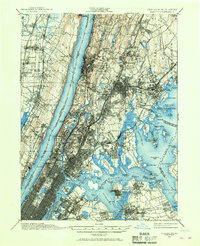
1897 Harlem
Westchester County, NY

1898 Harlem
Westchester County, NY
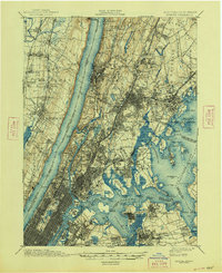
1900 Harlem
Westchester County, NY
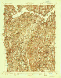
1936 Ossining
Westchester County, NY
1943 Ossining
Westchester County, NY
1944 Croton Falls
Westchester County, NY
1947 Mamaroneck
Westchester County, NY
1947 Mt Vernon
Westchester County, NY
1947 Pound Ridge
Westchester County, NY
1951 Pound Ridge
Westchester County, NY
1955 Mamaroneck
Westchester County, NY
1955 Ossining
Westchester County, NY
1956 Mohegan Lake
Westchester County, NY
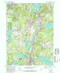
1960 Croton Falls
Westchester County, NY
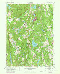
1960 Pound Ridge
Westchester County, NY
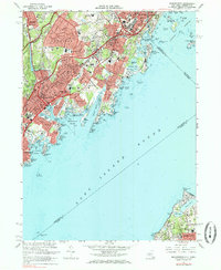
1967 Mamaroneck
Westchester County, NY
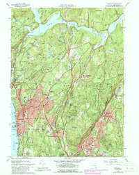
1967 Ossining
Westchester County, NY
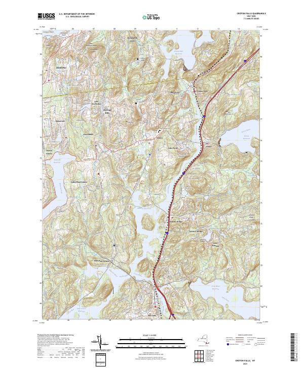
2023 Croton Falls
Westchester County, NY
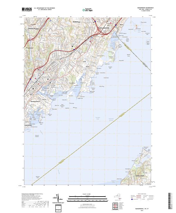
2023 Mamaroneck
Westchester County, NY
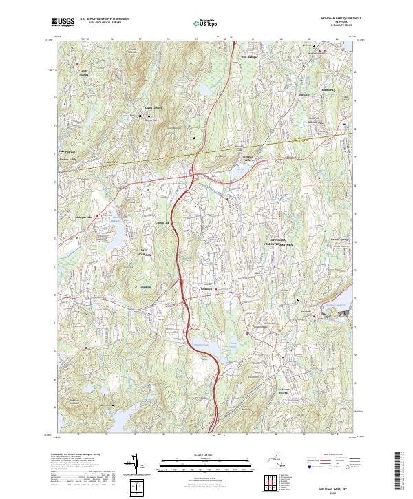
2023 Mohegan Lake
Westchester County, NY
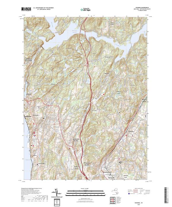
2023 Ossining
Westchester County, NY
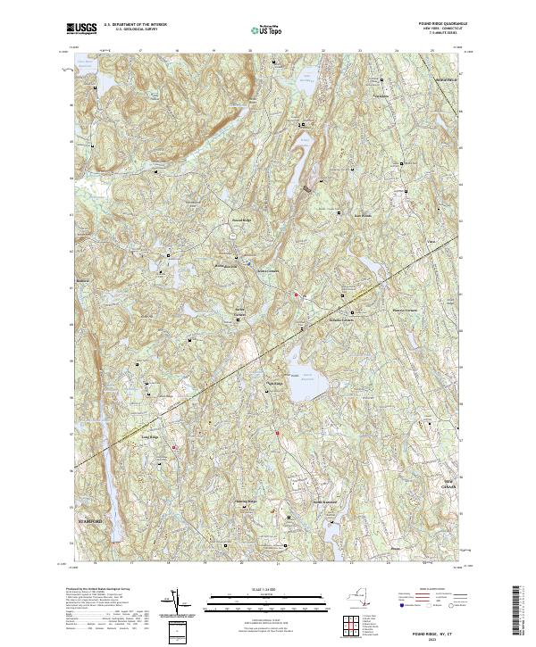
2023 Pound Ridge
Westchester County, NY