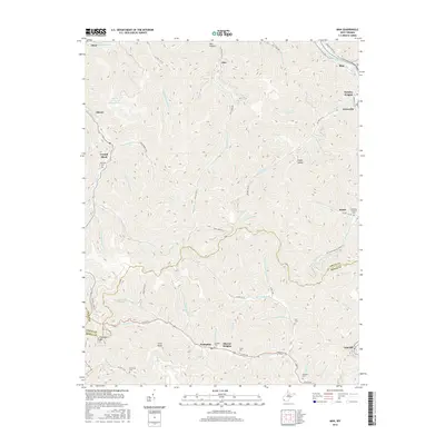
2016 Map of Man
USGS Topo · Published 2016About this map
The Guyandotte River winds through the northeast corner of this Logan and Mingo County borderland, anchoring the primary settlement at Man. This 2016 survey illustrates the deep industrial and familial roots of the West Virginia coalfields. The northern half of the map is dominated by the Stirrat Number 15 Impoundment, a massive feature of the local mining landscape near the community of Stirrat. Numerous hollows, such as Bee Hollow and Sheep Hollow, define the drainage patterns of Island Cr and Rockhouse Cr. Genealogists will find a significant concentration of family burial grounds, including the Hatfield Cem near Crystal Block and Sharon Heights, as well as the Browning Grimmet Cem near Bruno. These small, scattered cemeteries often mark the original family tracts before large-scale extraction changed the surrounding terrain.
Find a feature on this map
71 named features on this map. Tap any name to fly to it.
Don’t see what you’re looking for? This feature index may not catch every label — zoom into the map to look around manually.
Map Details
Editions of this 2016 Man Map
This is the sole edition of this map. No revisions or reprints were ever made.
Other maps of this area

1887 · Warfield
USGS Topo · 1:125,000

1891 · Oceana
USGS Topo · 1:125,000

1891 · Warfield
USGS Topo · 1:125,000

1893 · Oceana
USGS Topo · 1:125,000

1898 · Oceana
USGS Topo · 1:125,000

1909 · Matewan
USGS Topo · 1:48,000

1909 · Gilbert
USGS Topo · 1:48,000

1910 · Holden
USGS Topo · 1:48,000

1912 · Gilbert
USGS Topo · 1:62,500

1912 · Holden
USGS Topo · 1:62,500