Loading...
Loading map...2023 Map of Mancelona
USGS Topo · Published 2023About this map
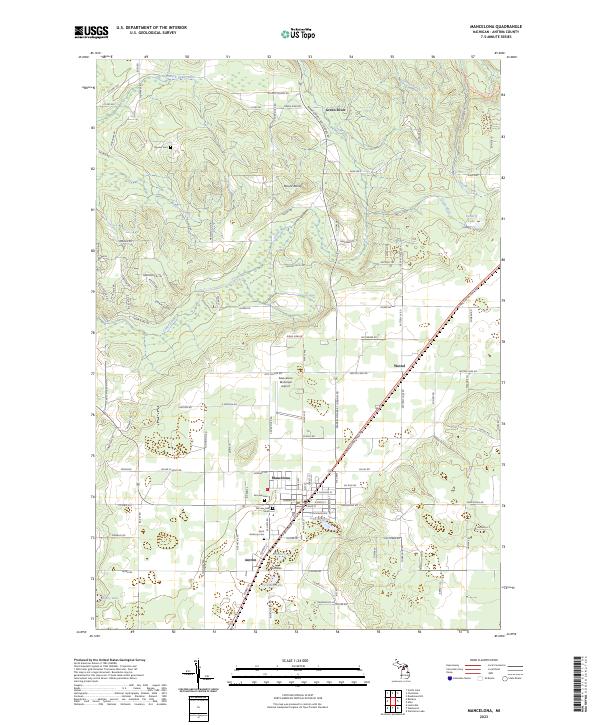
Mancelona serves as the primary hub of this northern Michigan landscape, where the street grid converges at the intersection of local and state routes near Johnson Pond. The settlement pattern extends south to Antrim and north toward the smaller communities of Wetzel and Green River. For genealogists and local historians, the sheet is particularly useful for locating burial sites, including Fairview Cem, Saint Anthony Cem, and Bryden Cem further to the northwest.
Find a feature on this map
125 named features on this map. Tap any name to fly to it.
Don’t see what you’re looking for? This feature index may not catch every label — zoom into the map to look around manually.
Map Details
Date Portrayed2023
Date Published2023
PublisherU.S. Geological Survey
Map TypeTopographic
Scale1:24000
Physical Dimensions24 x 29 inches
Editions of this 2023 Mancelona Map
This is the sole edition of this map. No revisions or reprints were ever made.
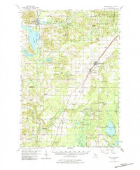
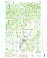
Historical Maps of Antrim County Through Time
3 maps found
Featured Locations
- Custer Township, MI
- Kearney Township, MI
- Green River, Chestonia Township
- Antrim, Mancelona Township
- Mancelona, Mancelona Township
Source Details
SourceU.S. Geological Survey
CopyrightPublic Domain