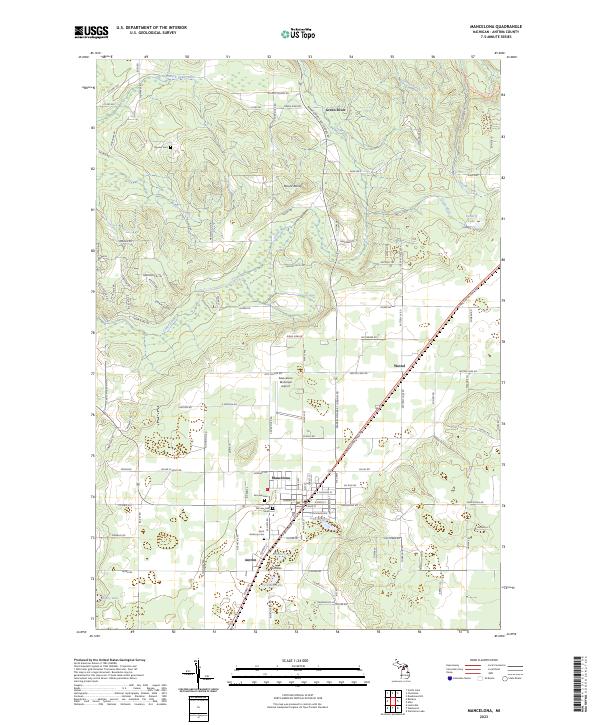
2023 Map of Mancelona
USGS Topo · Published 2023About this map
Mancelona serves as the primary hub of this northern Michigan landscape, where the street grid converges at the intersection of local and state routes near Johnson Pond. The settlement pattern extends south to Antrim and north toward the smaller communities of Wetzel and Green River. For genealogists and local historians, the sheet is particularly useful for locating burial sites, including Fairview Cem, Saint Anthony Cem, and Bryden Cem further to the northwest.
Find a feature on this map
125 named features on this map. Tap any name to fly to it.
Don’t see what you’re looking for? This feature index may not catch every label — zoom into the map to look around manually.
Map Details
Editions of this 2023 Mancelona Map
This is the sole edition of this map. No revisions or reprints were ever made.
Other maps of this area

1954 · Traverse City
USGS Topo · 1:250,000

1955 · Cheboygan
USGS Topo · 1:250,000

1956 · Alba
USGS Topo · 1:62,500

1956 · Mancelona
USGS Topo · 1:62,500

1958 · Cheboygan
USGS Topo · 1:250,000

1958 · Traverse City
USGS Topo · 1:250,000

1961 · Boyne Falls
USGS Topo · 1:62,500

1961 · Boyne City
USGS Topo · 1:62,500

1975 · Mancelona NE
USGS Topo · 1:24,000

1975 · Mancelona NW
USGS Topo · 1:24,000