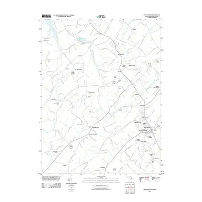
2011 Map of Manchester
USGS Topo · Published 2011About this map
The Sheppard-Meyers Reservoir and its associated Sheppard-Meyers Dam anchor the northern landscape of this borderland between Maryland and Pennsylvania. The area is characterized by a high density of residential developments and family-named farms such as Bamberger Farms and Grand Valley Farms. For genealogists and local historians, the sheet is particularly valuable for its mapping of numerous burial sites, including Saint Bartholomews Cemetery, Miller Memorial Cemetery, and Jerusalem Cemetery.
Find a feature on this map
161 named features on this map. Tap any name to fly to it.
Don’t see what you’re looking for? This feature index may not catch every label — zoom into the map to look around manually.
Map Details
Editions of this 2011 Manchester Map
This is the sole edition of this map. No revisions or reprints were ever made.
Other maps of this area

1905 · Westminster
USGS Topo · 1:62,500

1908 · Gettysburg
USGS Topo · 1:62,500

1911 · Taneytown
USGS Topo · 1:62,500

1920 · Hanover
USGS Topo · 1:62,500

1922 · Hanover
USGS Topo · 1:62,500

1942 · Gettysburg
USGS Topo · 1:125,000

1944 · Manchester
USGS Topo · 1:31,680

1944 · Hampstead
USGS Topo · 1:31,680

1944 · New Windsor
USGS Topo · 1:31,680

1944 · Mc Sherrystown
USGS Topo · 1:31,680