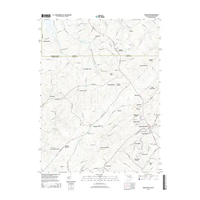
2014 Map of Manchester
USGS Topo · Published 2014About this map
The Pennsylvania Maryland state line bisects this landscape, separating York County from Carroll County. This transition zone is characterized by scattered rural settlements such as Bandanna and Wentz, alongside modern residential pockets like Pineridge Farms and Dayspring Estates. The terrain is defined by the headwaters of several major drainages, including the S Br Gunpowder Falls and Big Pipe Cr.
Find a feature on this map
157 named features on this map. Tap any name to fly to it.
Don’t see what you’re looking for? This feature index may not catch every label — zoom into the map to look around manually.
Map Details
Editions of this 2014 Manchester Map
This is the sole edition of this map. No revisions or reprints were ever made.
Other maps of this area

1905 · Westminster
USGS Topo · 1:62,500

1908 · Gettysburg
USGS Topo · 1:62,500

1911 · Taneytown
USGS Topo · 1:62,500

1920 · Hanover
USGS Topo · 1:62,500

1922 · Hanover
USGS Topo · 1:62,500

1942 · Gettysburg
USGS Topo · 1:125,000

1944 · Manchester
USGS Topo · 1:31,680

1944 · Hampstead
USGS Topo · 1:31,680

1944 · New Windsor
USGS Topo · 1:31,680

1944 · Mc Sherrystown
USGS Topo · 1:31,680