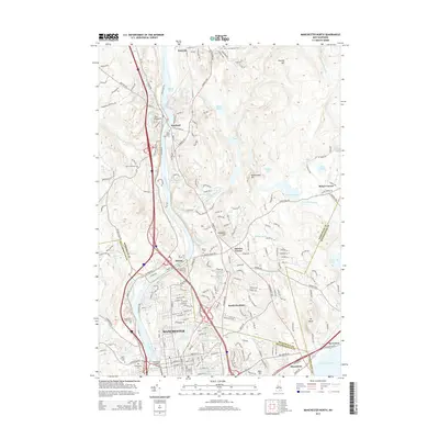
2015 Map of Manchester North
USGS Topo · Published 2015About this map
The Merrimack River serves as the central spine of this landscape, carving through a region defined by industrial history and residential growth as seen in 2015. North of Manchester, the terrain rises toward Pinkney Hill and Rattlesnake Hill, while the river's path is marked by the Merrimack River Reservoir and the Amoskeag Bridge. This map captures a moment of modern educational and civic infrastructure, featuring the sprawling campuses of Southern New Hampshire Univ and Manchester Community Coll.
Find a feature on this map
64 named features on this map. Tap any name to fly to it.
Don’t see what you’re looking for? This feature index may not catch every label — zoom into the map to look around manually.
Map Details
Editions of this 2015 Manchester North Map
This is the sole edition of this map. No revisions or reprints were ever made.
Other maps of this area

1905 · Manchester
USGS Topo · 1:62,500

1906 · Milford
USGS Topo · 1:62,500

1921 · Suncook
USGS Topo · 1:62,500

1927 · Concord
USGS Topo · 1:62,500

1941 · Manchester
USGS Topo · 1:62,500

1943 · Lowell
USGS Topo · 1:125,000

1943 · Fitchburg
USGS Topo · 1:125,000

1944 · Suncook
USGS Topo · 1:62,500

1948 · Boston
USGS Topo · 1:250,000

1949 · Portland
USGS Topo · 1:250,000