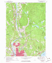
1968 Map of Manchester North
USGS Topo · Published 1983About this map
The Merrimack River serves as the central artery for this mid-1960s landscape, connecting the industrial growth of Manchester to the surrounding hills of Hooksett and Allenstown. The map reveals a transition from the dense urban grid of northern Manchester—complete with the Armory, Veterans Hospital, and numerous educational institutions like Notre Dame College—to the expansive woodland of Bear Brook State Park in the northeast. Transportation networks are well-defined, showing the Boston and Maine railroad following the river valley while the Frederick E Everett Turnpike provides modern highway access.
Find a feature on this map
128 named features on this map. Tap any name to fly to it.
Don’t see what you’re looking for? This feature index may not catch every label — zoom into the map to look around manually.
Map Details
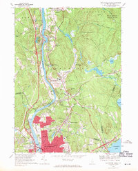
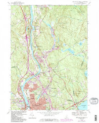
Editions of this 1968 Manchester North Map
3 editions found
Other maps of this area

1905 · Manchester
USGS Topo · 1:62,500

1906 · Milford
USGS Topo · 1:62,500

1921 · Suncook
USGS Topo · 1:62,500

1927 · Concord
USGS Topo · 1:62,500

1941 · Manchester
USGS Topo · 1:62,500

1943 · Lowell
USGS Topo · 1:125,000

1943 · Fitchburg
USGS Topo · 1:125,000

1944 · Suncook
USGS Topo · 1:62,500

1948 · Boston
USGS Topo · 1:250,000

1949 · Portland
USGS Topo · 1:250,000