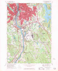
1968 Map of Manchester South
USGS Topo · Published 1971About this map
The Merrimack River serves as the central artery for this industrial and residential landscape, with the dense urban core of Manchester expanding eastward and south during the late 1960s. The map illustrates a complex social fabric through its numerous parochial institutions, including St Peters Orphanage, St Antoine Sch, and the St Augustine Cem. These sites, alongside the massive Pine Grove Cemetery, reflect the city's established neighborhoods and heritage.
Find a feature on this map
81 named features on this map. Tap any name to fly to it.
Don’t see what you’re looking for? This feature index may not catch every label — zoom into the map to look around manually.
Map Details
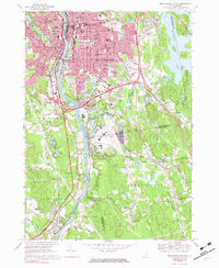
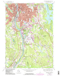
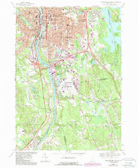
Editions of this 1968 Manchester South Map
4 editions found
Other maps of this area

1905 · Manchester
USGS Topo · 1:62,500

1906 · Milford
USGS Topo · 1:62,500

1921 · Suncook
USGS Topo · 1:62,500

1927 · Concord
USGS Topo · 1:62,500

1941 · Manchester
USGS Topo · 1:62,500

1943 · Lowell
USGS Topo · 1:125,000

1943 · Fitchburg
USGS Topo · 1:125,000

1944 · Suncook
USGS Topo · 1:62,500

1948 · Boston
USGS Topo · 1:250,000

1949 · Portland
USGS Topo · 1:250,000