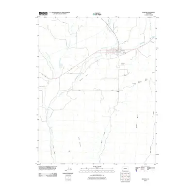
2010 Map of Mancos
USGS Topo · Published 2010About this map
The Mancos River flows through the heart of the Mancos Valley, serving as the central geographic feature for this high-altitude landscape. In the town of Mancos, the local Mancos Post Office stands near the intersection of several county routes, while the surrounding hills are marked by a history of resource extraction. Local coal or mineral history is evidenced by several sites including the Old Spencer Mine and Burnham Mine to the east, and the Todd Mine further south near the border of Mesa Verde National Park. The settlement of Weber and its namesake Weber Cemetery provide important points of interest for genealogists tracing early families in the region. The transition from the river valley to the steep slopes of Menefee Mountain and Weber Mountain illustrates the complex topography that constrained early development and road placement.
Find a feature on this map
43 named features on this map. Tap any name to fly to it.
Don’t see what you’re looking for? This feature index may not catch every label — zoom into the map to look around manually.
Map Details
Editions of this 2010 Mancos Map
This is the sole edition of this map. No revisions or reprints were ever made.
Other maps of this area

1895 · La Plata
USGS Topo · 1:62,500

1897 · La Plata
USGS Topo · 1:62,500

1899 · La Plata
USGS Topo · 1:62,500

1908 · La Plata
USGS Topo · 1:62,500

1912 · Soda Canyon
USGS Topo · 1:62,500

1913 · Red Mesa
USGS Topo · 1:62,500

1915 · Soda Canyon
USGS Topo · 1:62,500

1956 · Cortez
USGS Topo · 1:250,000

1958 · Cortez
USGS Topo · 1:250,000

1959 · Cortez
USGS Topo · 1:250,000