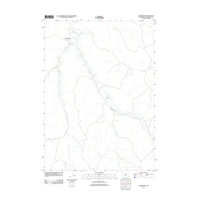
2012 Map of Manderson
USGS Topo · Published 2012About this map
Manderson serves as the primary settlement on this landscape, which is defined by the winding paths of numerous named creeks. These waterways, including Wounded Knee Cr, White Horse Cr, and Fast Horse Cr, carve through the terrain, illustrating the natural drainage patterns that have likely influenced local land use and habitation for generations. The presence of Saint Paul Cem near the banks of Wounded Knee Cr provides a specific point of interest for genealogists and local historians tracking family roots in the area. Transportation is anchored by Indian Service Road 33, which connects these disparate points across the prairie, reflecting the logistical infrastructure of the Oglala Lakota region in the early twenty-first century.
Find a feature on this map
8 named features on this map. Tap any name to fly to it.
Don’t see what you’re looking for? This feature index may not catch every label — zoom into the map to look around manually.
Map Details
Editions of this 2012 Manderson Map
This is the sole edition of this map. No revisions or reprints were ever made.
Other maps of this area

1951 · Rockyford SE
USGS Topo · 1:24,000

1955 · Hot Springs
USGS Topo · 1:250,000

1967 · Pine Ridge NE
USGS Topo · 1:24,000

1967 · Pine Ridge
USGS Topo · 1:24,000

1967 · Manderson
USGS Topo · 1:24,000

1967 · Manderson SW
USGS Topo · 1:24,000

1967 · Wounded Knee
USGS Topo · 1:24,000

1967 · Denby
USGS Topo · 1:24,000

1981 · Evergreen
USGS Topo · 1:25,000

1985 · Pine Ridge
USGS Topo · 1:100,000