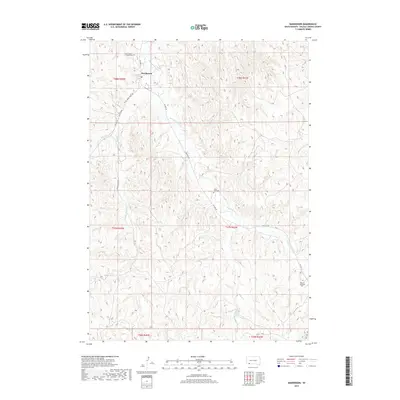
2017 Map of Manderson
USGS Topo · Published 2017About this map
Manderson serves as a central hub in this section of Oglala Lakota County, situated where the terrain is carved by the winding course of Wounded Knee Cr. The landscape is defined by the drainages of White Horse Cr and Fast Horse Cr, which cut through the high plains. For genealogists and local historians, several spiritual landmarks are documented, including Saint Agnes Catholic Cem near the town site and Saint Paul Cem further south. The map illustrates a network of essential routes like BIA Hwy 33 and BIA Hwy 28 that facilitate movement across the tribal lands, alongside the notable Big Foot Trl which skirts the southeastern quadrant near Messiah Episcopal Cem.
Find a feature on this map
19 named features on this map. Tap any name to fly to it.
Don’t see what you’re looking for? This feature index may not catch every label — zoom into the map to look around manually.
Map Details
Editions of this 2017 Manderson Map
This is the sole edition of this map. No revisions or reprints were ever made.
Other maps of this area

1951 · Rockyford SE
USGS Topo · 1:24,000

1955 · Hot Springs
USGS Topo · 1:250,000

1967 · Pine Ridge NE
USGS Topo · 1:24,000

1967 · Pine Ridge
USGS Topo · 1:24,000

1967 · Manderson
USGS Topo · 1:24,000

1967 · Manderson SW
USGS Topo · 1:24,000

1967 · Wounded Knee
USGS Topo · 1:24,000

1967 · Denby
USGS Topo · 1:24,000

1981 · Evergreen
USGS Topo · 1:25,000

1985 · Pine Ridge
USGS Topo · 1:100,000