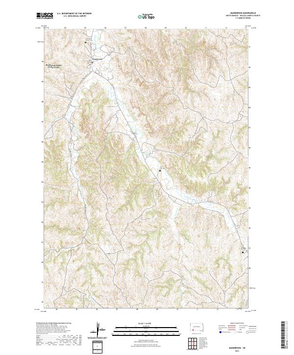
2021 Map of Manderson
USGS Topo · Published 2021About this map
Manderson and the nearby census-designated place of Manderson-White Horse Creek occupy the northern reaches of this Pine Ridge Reservation landscape. The geography is defined by the winding course of Wounded Knee Cr, which flows north toward the White River. Several smaller drainages, including Pepper Cr and Fast Horse Cr, carve the surrounding topography, creating a network of ridges and draws characteristic of the Oglala Lakota County interior.
Find a feature on this map
24 named features on this map. Tap any name to fly to it.
Don’t see what you’re looking for? This feature index may not catch every label — zoom into the map to look around manually.
Map Details
Editions of this 2021 Manderson Map
This is the sole edition of this map. No revisions or reprints were ever made.
Other maps of this area

1951 · Rockyford SE
USGS Topo · 1:24,000

1955 · Hot Springs
USGS Topo · 1:250,000

1967 · Pine Ridge NE
USGS Topo · 1:24,000

1967 · Pine Ridge
USGS Topo · 1:24,000

1967 · Manderson
USGS Topo · 1:24,000

1967 · Manderson SW
USGS Topo · 1:24,000

1967 · Wounded Knee
USGS Topo · 1:24,000

1967 · Denby
USGS Topo · 1:24,000

1981 · Evergreen
USGS Topo · 1:25,000

1985 · Pine Ridge
USGS Topo · 1:100,000