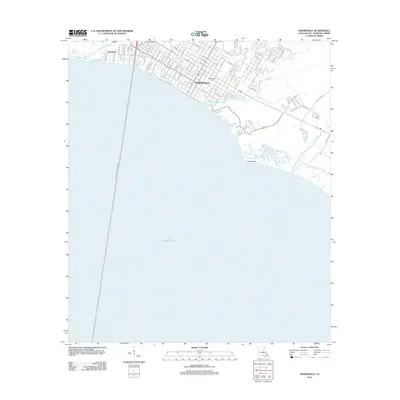
2012 Map of Mandeville
USGS Topo · Published 2012About this map
Mandeville and its Northshore neighbors are presented in this survey of the St. Tammany Parish shoreline. The coastal settlement pattern is defined by the heavy interface between land and the north side of Lake Pontchartrain, where the shoreline is punctuated by Green Point and the mouth of Cane Bayou. A dense residential grid stretches between Bayou Chinchuba and Bayou Castine, reflecting a landscape deeply influenced by its proximity to the water and the major transit artery of N Causeway Blvd. Local landmarks include the Mandeville Cem and the Po, while the smaller community of Lewisburg sits further west near the marshy banks of the Chinchuba. This record provides a clear look at the modern suburban footprint as it existed in 2012, highlighting how the natural bayou systems still constrain and shape the town's expansion.
Find a feature on this map
79 named features on this map. Tap any name to fly to it.
Don’t see what you’re looking for? This feature index may not catch every label — zoom into the map to look around manually.
Map Details
Editions of this 2012 Mandeville Map
This is the sole edition of this map. No revisions or reprints were ever made.
Other maps of this area

1891 · Spanish Fort
USGS Topo · 1:62,500

1892 · Chef Menteur
USGS Topo · 1:62,500

1935 · Slidell
USGS Topo · 1:62,500

1935 · Covington
USGS Topo · 1:62,500

1936 · South Point
USGS Topo · 1:31,680

1936 · Chef Menteur
USGS Topo · 1:62,500

1936 · Spanish Fort
USGS Topo · 1:62,500

1939 · Slidell
USGS Topo · 1:62,500

1939 · Covington
USGS Topo · 1:62,500

1950 · Slidell
USGS Topo · 1:62,500