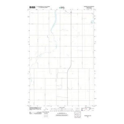
2011 Map of Manfred NW
USGS Topo · Published 2011About this map
The Sheyenne River meanders through the central and western portions of this North Dakota landscape, carving a distinct valley through the agricultural grid of Wells County. In the northeastern corner, Egg Lake provides a natural landmark within the prairie terrain. The map is defined by a rigorous network of section-line roads, including 23rd St NE and 33rd Ave NE, illustrating the systematic township and range organization that governs the rural West. This 2011 survey captures the area's contemporary infrastructure, where County Hwy 4216 serves as a primary east-west arterial. The lack of concentrated settlements highlights the region's focus on large-scale agriculture and the preservation of natural watercourses like the Sheyenne.
Find a feature on this map
19 named features on this map. Tap any name to fly to it.
Don’t see what you’re looking for? This feature index may not catch every label — zoom into the map to look around manually.
Map Details
Editions of this 2011 Manfred NW Map
This is the sole edition of this map. No revisions or reprints were ever made.
Other maps of this area

1940 · Aylmer
USGS Topo · 1:62,500

1941 · Selz
USGS Topo · 1:62,500

1945 · Manfred
USGS Topo · 1:62,500

1946 · Sheyenne Lake
USGS Topo · 1:48,000

1947 · Sheyenne Lake
USGS Topo · 1:62,500

1948 · Manfred
USGS Topo · 1:62,500

1949 · Manfred SW
USGS Topo · 1:24,000

1950 · Manfred SE
USGS Topo · 1:24,000

1950 · Wellsburg
USGS Topo · 1:24,000

1950 · Manfred NW
USGS Topo · 1:24,000