
1940 Map of Aylmer
USGS Topo · Published 1940About this map
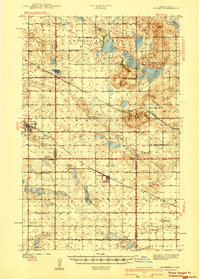
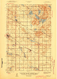
The rolling plains of central North Dakota, documented shortly before the 1940s, reveal a landscape defined by the intersection of four counties and the reach of two major rail lines. Antelope Lake dominates the northern section of the survey, surrounded by a network of numbered schoolhouses and small prairie townships like Anamoose and Martin. This map illustrates the localized nature of early 20th-century rural life, where each township section often supported its own educational and spiritual centers, such as Lakeview Sch No 3 or the Berlin Ch in the south.
Find a feature on this map
31 named features on this map. Tap any name to fly to it.
Don’t see what you’re looking for? This feature index may not catch every label — zoom into the map to look around manually.
Map Details
Editions of this 1940 Aylmer Map
Other maps of this area

1930 · Drake
USGS Topo · 1:62,500

1941 · Selz
USGS Topo · 1:62,500

1945 · Manfred
USGS Topo · 1:62,500

1946 · Sheyenne Lake
USGS Topo · 1:48,000

1947 · Lincoln Valley
USGS Topo · 1:62,500

1947 · Sheyenne Lake
USGS Topo · 1:62,500

1948 · Manfred
USGS Topo · 1:62,500

1950 · Manfred NW
USGS Topo · 1:24,000

1950 · Sheyenne Lake NE
USGS Topo · 1:24,000

1950 · Sheyenne Lake
USGS Topo · 1:24,000