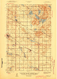
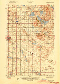
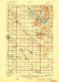
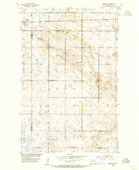
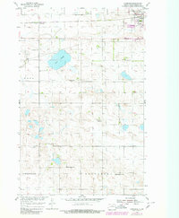
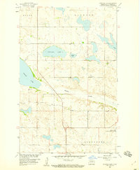
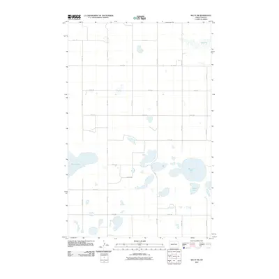
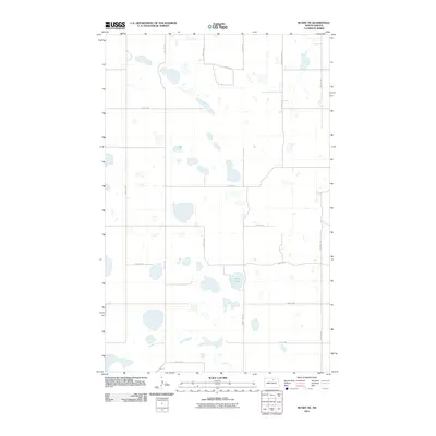
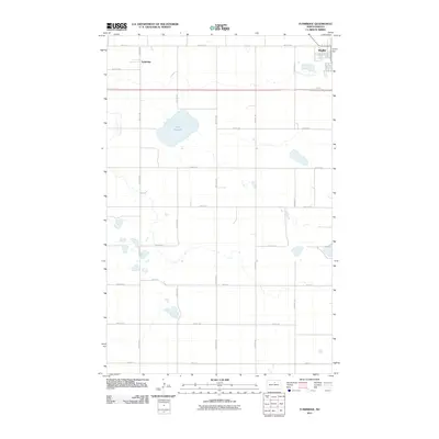
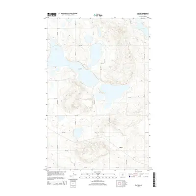
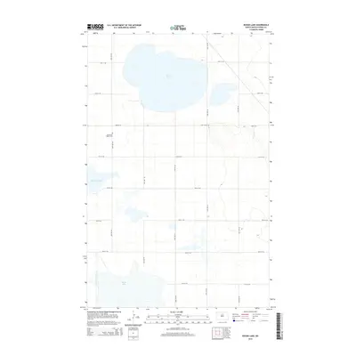
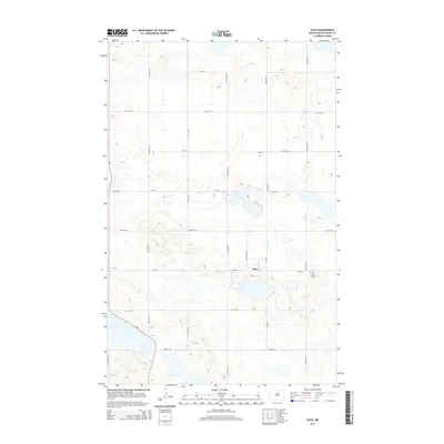
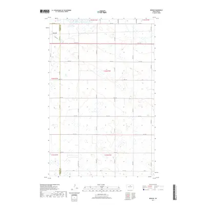
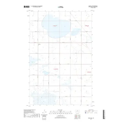
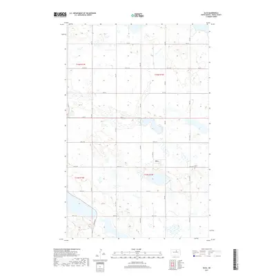
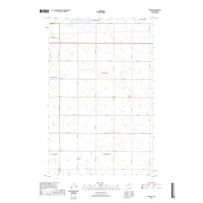
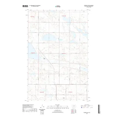
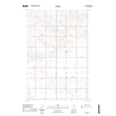
1940 Map of Aylmer
USGS Topo · Published 1940About this map
Antelope Lake sits at the heart of this North Dakota prairie landscape, surrounded by a network of small agricultural townships and rail-connected settlements at the end of the 1930s. The region is defined by two major rail lines: the Great Northern passing through Aylmer and the Minneapolis St Paul and Sault Ste Marie serving Anamoose and Martin. This survey captures the rural infrastructure of the era, where one-room schoolhouses like Lakeview Sch No 3 and New German Sch No 1 were still the primary centers for local education. The map illustrates the early 20th-century settlement pattern where family life revolved around the local church and school, visible in landmarks such as Berlin Ch, Hillsdale Ch, and the Martin Cem. The intersection of McHenry, Pierce, Sheridan, and Wells counties highlights the complex administrative boundaries governing these central plains farming communities.
Find a feature on this map
30 named features on this map. Tap any name to fly to it.
Don’t see what you’re looking for? This feature index may not catch every label — zoom into the map to look around manually.
Map Details
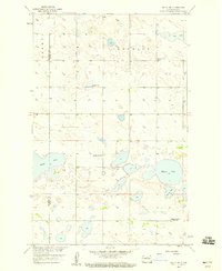
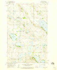
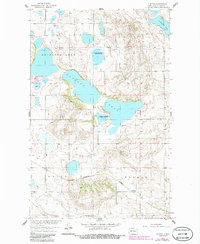
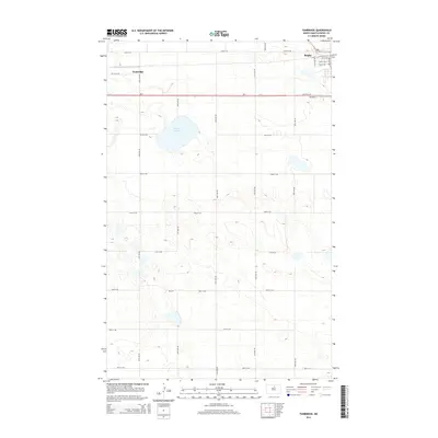
Editions of this 1940 Aylmer Map
Historical Maps of Anamoose Through Time
79 maps found
1940 Aylmer
Pierce County, ND
1951 Selz NW
Pierce County, ND
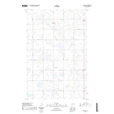
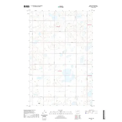
1954 Berwick
Pierce County, ND
1954 Leverich
Pierce County, ND
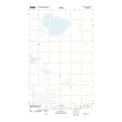
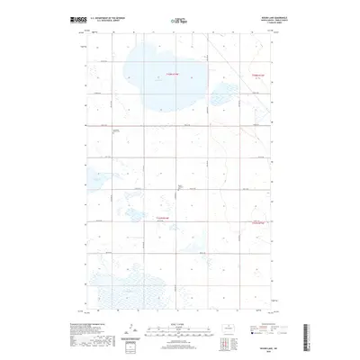
1954 Round Lake
Pierce County, ND
1954 Rugby NW
Pierce County, ND
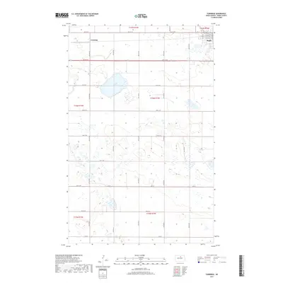
1954 Tunbridge
Pierce County, ND
1958 Balta NW
Pierce County, ND
1958 Balta SE
Pierce County, ND
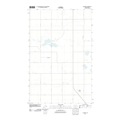
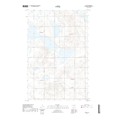
1958 Clifton
Pierce County, ND
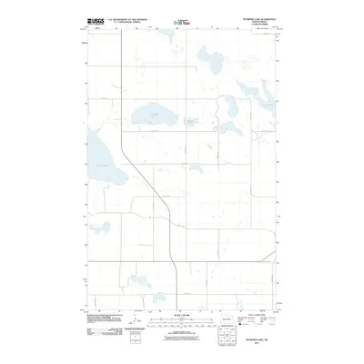
1958 Petrified Lake
Pierce County, ND
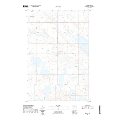
1958 Silva
Pierce County, ND
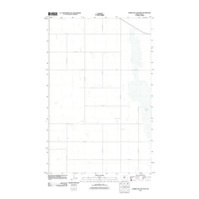
1971 Hurricane Lake West
Pierce County, ND
1971 Rugby NE
Pierce County, ND
2011 Balta NW
Pierce County, ND
2011 Balta SE
Pierce County, ND
2011 Berwick
Pierce County, ND
2011 Clifton
Pierce County, ND
2011 Hurricane Lake West
Pierce County, ND
2011 Leverich
Pierce County, ND
2011 Petrified Lake
Pierce County, ND
2011 Round Lake
Pierce County, ND
2011 Rugby NE
Pierce County, ND
2011 Rugby NW
Pierce County, ND
2011 Selz NW
Pierce County, ND
2011 Silva
Pierce County, ND
2011 Tunbridge
Pierce County, ND
2014 Balta NW
Pierce County, ND
2014 Balta SE
Pierce County, ND
2014 Berwick
Pierce County, ND
2014 Clifton
Pierce County, ND
2014 Hurricane Lake West
Pierce County, ND
2014 Leverich
Pierce County, ND
2014 Petrified Lake
Pierce County, ND
2014 Round Lake
Pierce County, ND
2014 Rugby NE
Pierce County, ND
2014 Rugby NW
Pierce County, ND
2014 Selz NW
Pierce County, ND
2014 Silva
Pierce County, ND
2014 Tunbridge
Pierce County, ND
2017 Balta NW
Pierce County, ND
2017 Balta SE
Pierce County, ND
2017 Berwick
Pierce County, ND
2017 Hurricane Lake West
Pierce County, ND
2017 Leverich
Pierce County, ND
2017 Petrified Lake
Pierce County, ND
2017 Round Lake
Pierce County, ND
2017 Rugby NE
Pierce County, ND
2017 Rugby NW
Pierce County, ND
2017 Selz NW
Pierce County, ND
2017 Silva
Pierce County, ND
2017 Tunbridge
Pierce County, ND
2018 Clifton
Pierce County, ND

2020 Balta NW
Pierce County, ND
2020 Balta SE
Pierce County, ND
2020 Berwick
Pierce County, ND
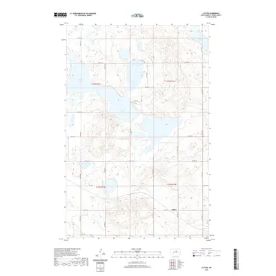
2020 Clifton
Pierce County, ND
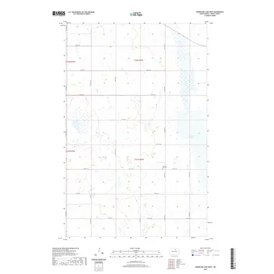
2020 Hurricane Lake West
Pierce County, ND
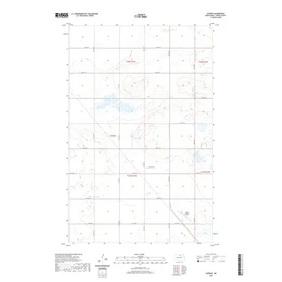
2020 Leverich
Pierce County, ND
2020 Petrified Lake
Pierce County, ND
2020 Round Lake
Pierce County, ND
2020 Rugby NE
Pierce County, ND
2020 Rugby NW
Pierce County, ND
2020 Selz NW
Pierce County, ND
2020 Silva
Pierce County, ND
2020 Tunbridge
Pierce County, ND
2024 Balta NW
Pierce County, ND
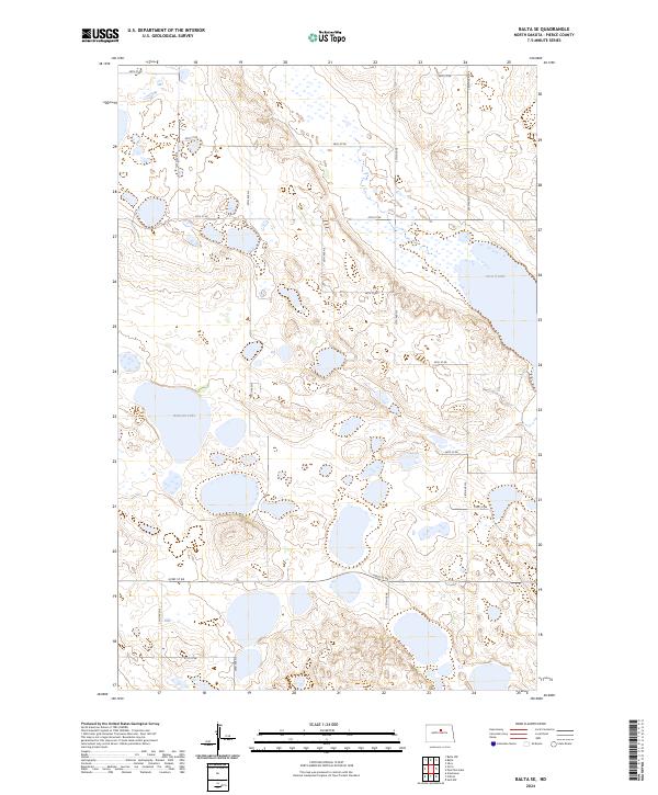
2024 Balta SE
Pierce County, ND
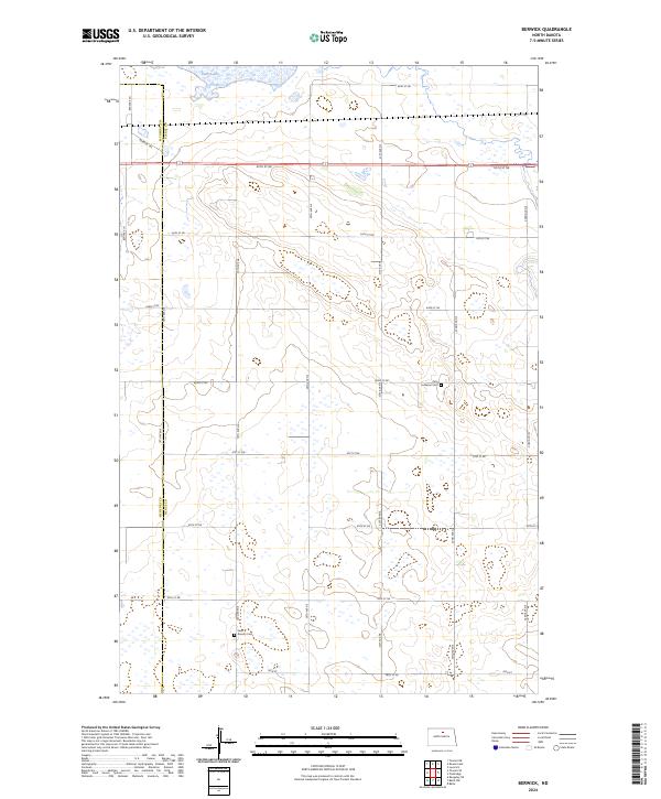
2024 Berwick
Pierce County, ND
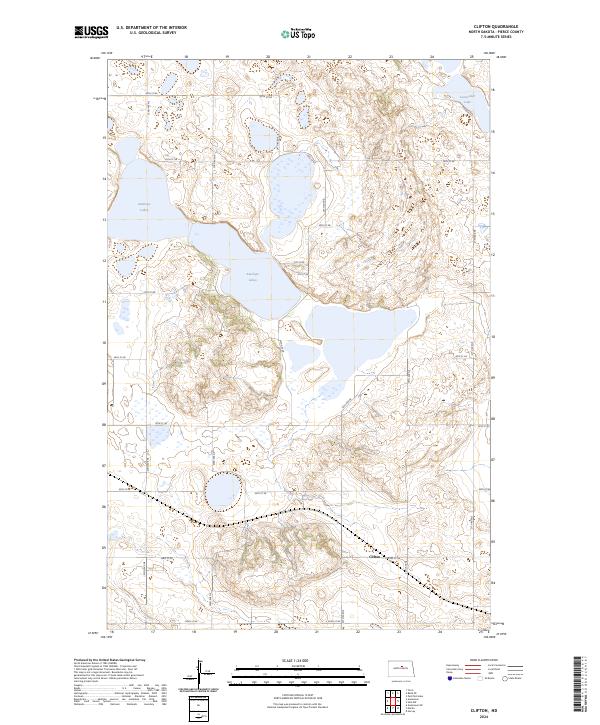
2024 Clifton
Pierce County, ND
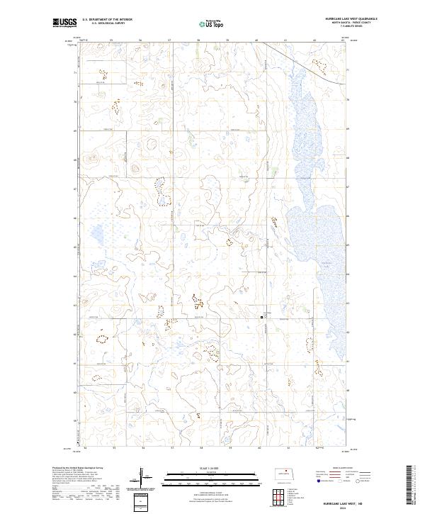
2024 Hurricane Lake West
Pierce County, ND
2024 Leverich
Pierce County, ND
2024 Petrified Lake
Pierce County, ND
2024 Round Lake
Pierce County, ND
2024 Rugby NE
Pierce County, ND
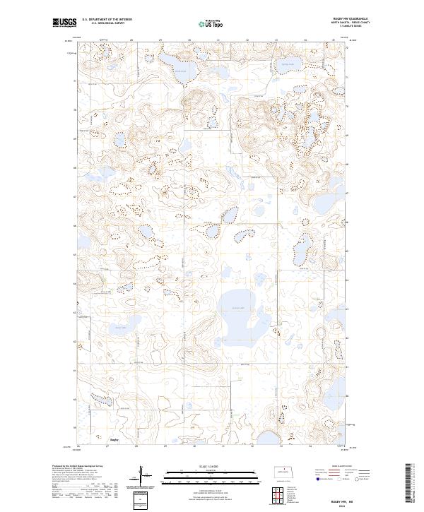
2024 Rugby NW
Pierce County, ND

2024 Selz NW
Pierce County, ND
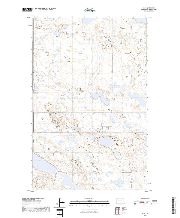
2024 Silva
Pierce County, ND
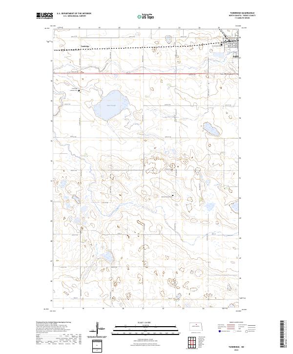
2024 Tunbridge
Pierce County, ND