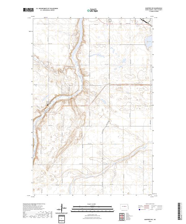
2024 Map of Manfred NW
USGS Topo · Published 2024About this map
The Sheyenne River carves a winding path through this central North Dakota landscape, defining the topography of the Manfred NW quadrangle. In the western portion of the map, the Cheyenne River Seventh-Day Adventist Cem serves as a localized point of historical and genealogical interest. Modern infrastructure and recreational paths now traverse the prairie, including segments of the North Country National Scenic Trl which follow the river's contours. The map reflects a classic township and range grid system, with rural transit routes like Old Hwy 52 and numerous numbered section roads providing access to the open terrain. In the northeast corner, Egg Lake stands as a prominent water feature amidst the prairie potholes and agricultural tracts.
Find a feature on this map
26 named features on this map. Tap any name to fly to it.
Don’t see what you’re looking for? This feature index may not catch every label — zoom into the map to look around manually.
Map Details
Editions of this 2024 Manfred NW Map
This is the sole edition of this map. No revisions or reprints were ever made.
Other maps of this area

1940 · Aylmer
USGS Topo · 1:62,500

1941 · Selz
USGS Topo · 1:62,500

1945 · Manfred
USGS Topo · 1:62,500

1946 · Sheyenne Lake
USGS Topo · 1:48,000

1947 · Sheyenne Lake
USGS Topo · 1:62,500

1948 · Manfred
USGS Topo · 1:62,500

1949 · Manfred SW
USGS Topo · 1:24,000

1950 · Manfred SE
USGS Topo · 1:24,000

1950 · Wellsburg
USGS Topo · 1:24,000

1950 · Manfred NW
USGS Topo · 1:24,000