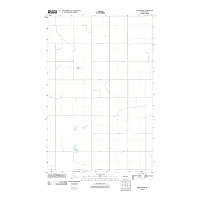
2011 Map of Manfred SW
USGS Topo · Published 2011About this map
Crystal Lake anchors the southwestern corner of this Wells County landscape, illustrating the characteristic prairie pothole topography of central North Dakota. In this high-plains environment, the managed water of the Faul-Mathison Dam contrasts with the natural seasonal wetlands scattered throughout the section lines. The southeastern edge of the sheet traces the headwaters of the James River, a vital watercourse for the region's agricultural drainage and historical development. The map is defined by a rigorous grid of section-line roads, including 30th Ave NE and 14th St NE, which reflect the systematic land division that has shaped farming and property boundaries here since the era of original settlement. This 2011 survey serves as a precise record of the rural infrastructure and hydraulic features that sustain this portion of the northern plains.
Find a feature on this map
18 named features on this map. Tap any name to fly to it.
Don’t see what you’re looking for? This feature index may not catch every label — zoom into the map to look around manually.
Map Details
Editions of this 2011 Manfred SW Map
This is the sole edition of this map. No revisions or reprints were ever made.
Other maps of this area

1945 · Manfred
USGS Topo · 1:62,500

1946 · Sheyenne Lake
USGS Topo · 1:48,000

1947 · Sheyenne Lake
USGS Topo · 1:62,500

1948 · Manfred
USGS Topo · 1:62,500

1949 · Manfred SW
USGS Topo · 1:24,000

1950 · Manfred SE
USGS Topo · 1:24,000

1950 · Manfred NW
USGS Topo · 1:24,000

1950 · Sheyenne Lake NE
USGS Topo · 1:24,000

1950 · Manfred
USGS Topo · 1:24,000

1950 · Manfred SW
USGS Topo · 1:24,000