
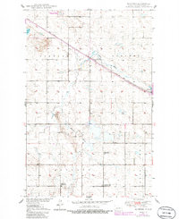
1950 Map of Manfred
USGS Topo · Published 1950About this map
The James River meanders through the central plains of Wells County, shaping a landscape defined by small-scale agrarian townships and a network of rural school districts at mid-century. The Minneapolis St Paul and Sault Ste Marie railroad provides the primary industrial artery, passing through the settlement of Manfred, which serves as a local focal point for transport and commerce.
Find a feature on this map
18 named features on this map. Tap any name to fly to it.
Don’t see what you’re looking for? This feature index may not catch every label — zoom into the map to look around manually.
Map Details
Editions of this 1950 Manfred Map
2 editions found
Other maps of this area

1941 · Selz
USGS Topo · 1:62,500

1943 · Maddock
USGS Topo · 1:62,500

1945 · Maddock
USGS Topo · 1:62,500

1945 · Manfred
USGS Topo · 1:62,500

1948 · Fessenden
USGS Topo · 1:62,500

1948 · Manfred
USGS Topo · 1:62,500

1949 · Fessenden SW
USGS Topo · 1:24,000

1949 · Fessenden West
USGS Topo · 1:24,000

1949 · Manfred SW
USGS Topo · 1:24,000

1950 · Manfred SE
USGS Topo · 1:24,000