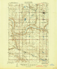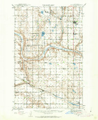
1943 Map of Maddock
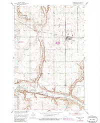
USGS Topo · Published 1963About this map
The Sheyenne River winds through this 1940s landscape, marking a distinct boundary in the prairie topography between the Great Northern and Northern Pacific railroad corridors. The settlement of Maddock serves as a primary hub near the North Viking Cem, while smaller rail-side communities like Hesper and Heimdal anchor the surrounding agricultural townships. The high density of rural schoolhouses and country churches—such as Quarre Sch No 1, Lynne Sch, and Bethania Ch—reveals a mid-century social fabric built around small, localized districts. Water features like Legreid Lake and Stromberg Dam highlight the essential role of water management in this portion of the Benson and Wells County borderlands. The map preserves a network of section-line roads and named valleys, including Rich Valley and Antelope Valley, that defined the local geography before modern consolidation.
Find a feature on this map
40 named features on this map. Tap any name to fly to it.
Don’t see what you’re looking for? This feature index may not catch every label — zoom into the map to look around manually.
Map Details
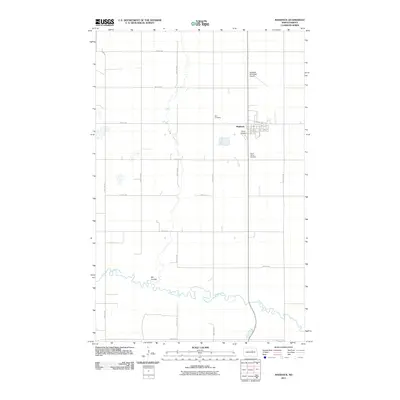
Editions of this 1943 Maddock Map
This is the sole edition of this map. No revisions or reprints were ever made.
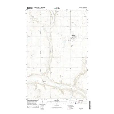
Historical Maps of Maddock Through Time
8 maps found