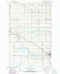
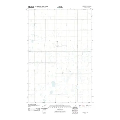
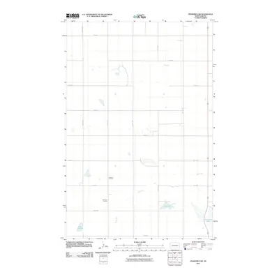
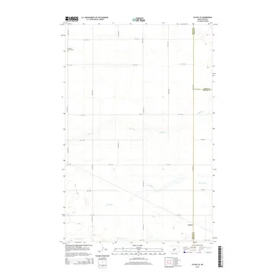
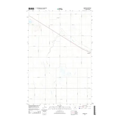
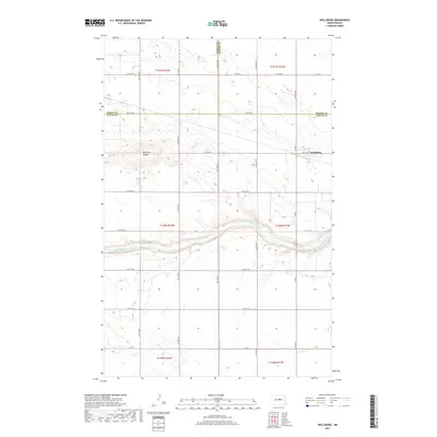
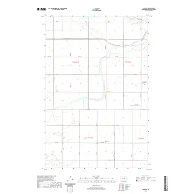
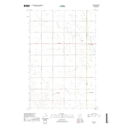
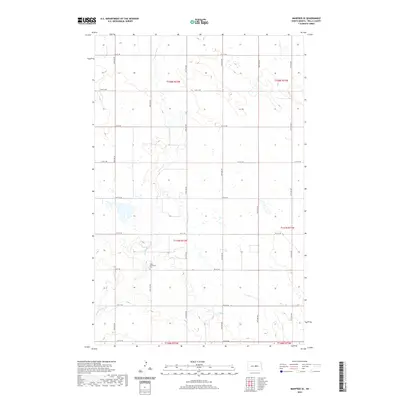
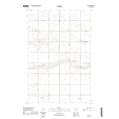
1949 Map of Bremen
USGS Topo · Published 1949About this map
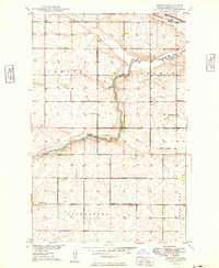
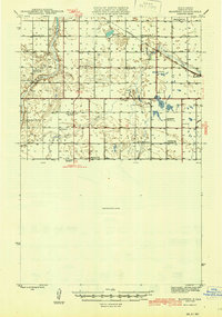
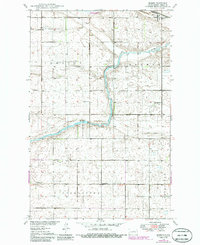
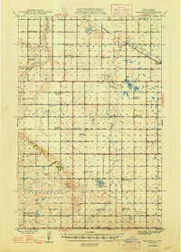
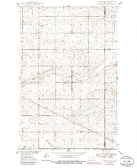
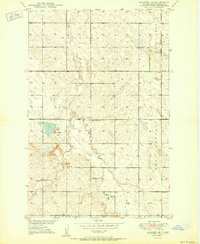
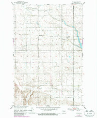
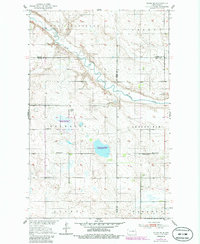
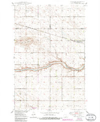
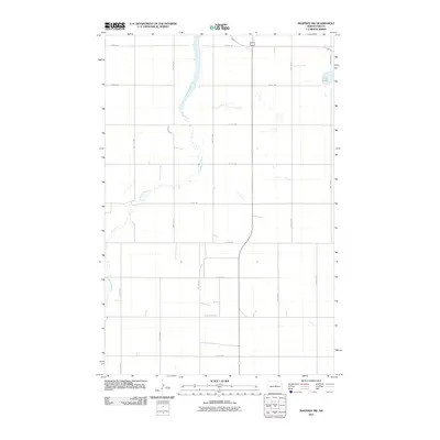
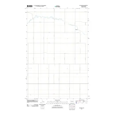
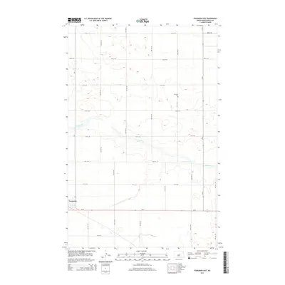
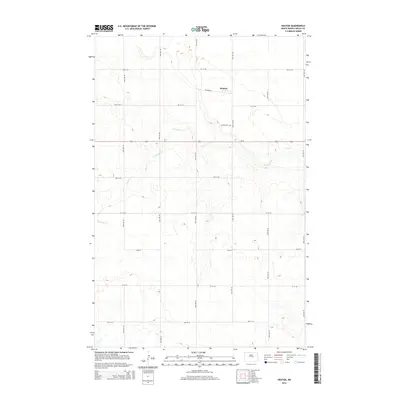
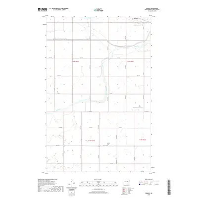
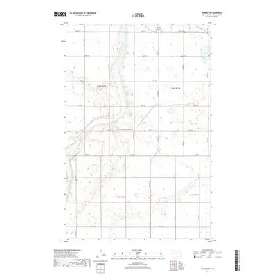
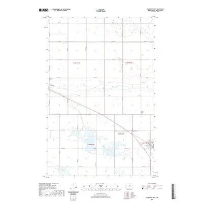
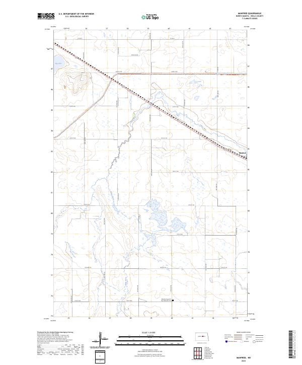
The James River meanders through this agricultural landscape in Wells County, defining the boundaries and movement of the mid-century prairie. The tiny settlement of Bremen serves as a local hub along the Great Northern railroad, which cuts through the northeastern corner of the map. This postwar study reveals a highly organized township system, with School No 1, School No 2, and School No 3 strategically placed to serve the surrounding farmsteads. Religious and community life is anchored by St Josephs Ch and the German Baptist Cem, reflecting the heritage of the Germantown and Hamburg townships. The map is a product of the Department of the Interior's program for the development of the Missouri River Basin, capturing the region's topography during a period of transition in rural North Dakota.
Find a feature on this map
15 named features on this map. Tap any name to fly to it.
Don’t see what you’re looking for? This feature index may not catch every label — zoom into the map to look around manually.
Map Details
Editions of this 1949 Bremen Map
This is the sole edition of this map. No revisions or reprints were ever made.
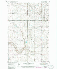
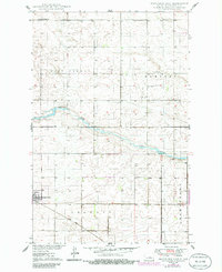
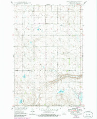
Historical Maps of Bremen Through Time
107 maps found
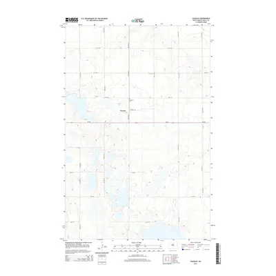
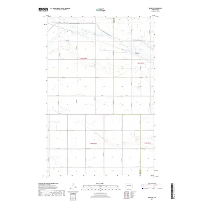
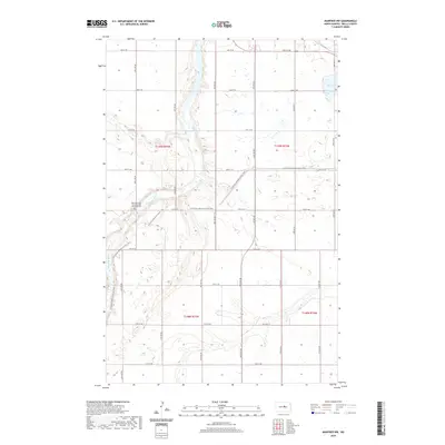
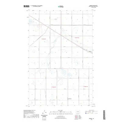
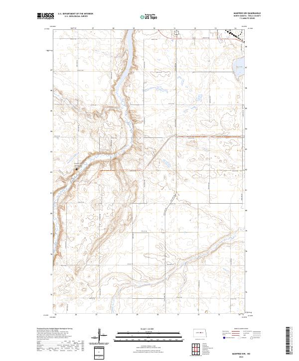
1945 Manfred
Wells County, ND
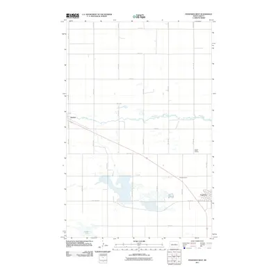
1948 Bremen
Wells County, ND
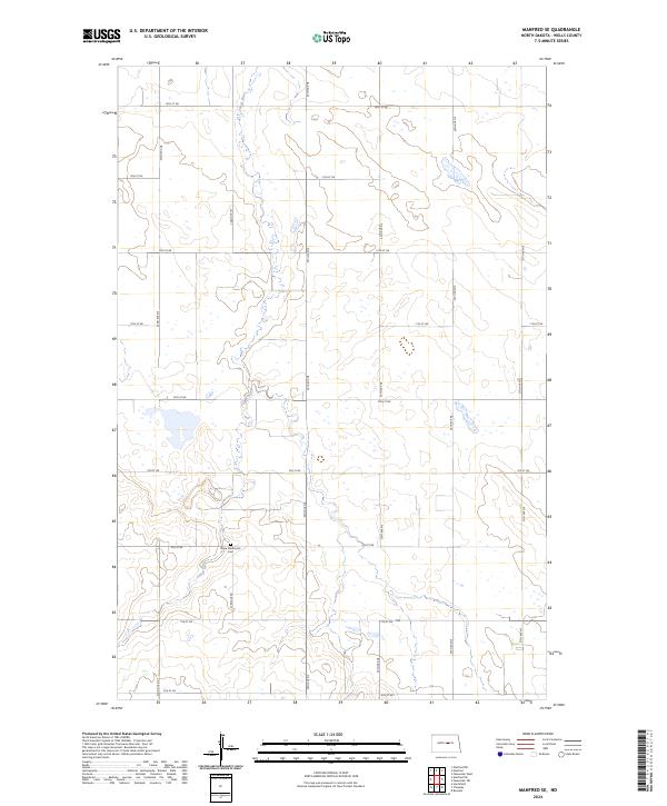
1948 Manfred
Wells County, ND
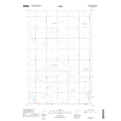
1949 Bremen
Wells County, ND
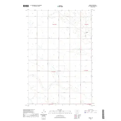
1949 Cathay SE
Wells County, ND
1949 Emrick
Wells County, ND
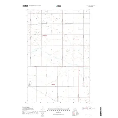
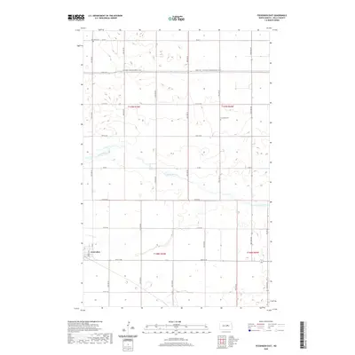
1949 Fessenden East
Wells County, ND
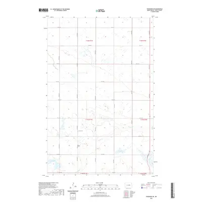
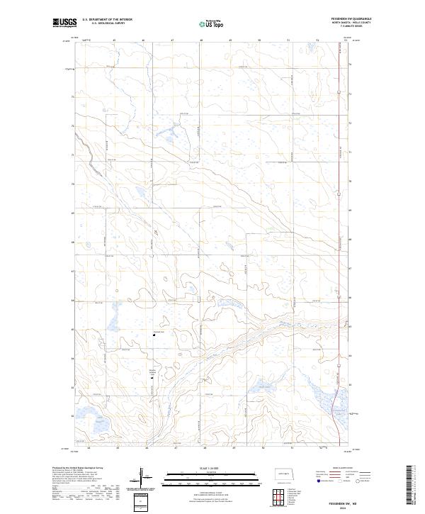
1949 Fessenden SW
Wells County, ND
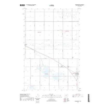
1949 Fessenden West
Wells County, ND
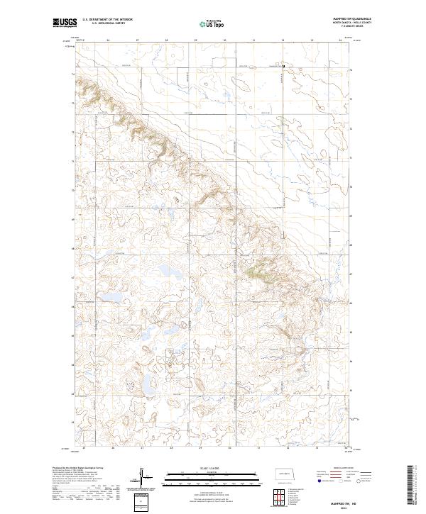
1949 Manfred SW
Wells County, ND
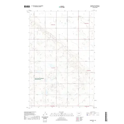
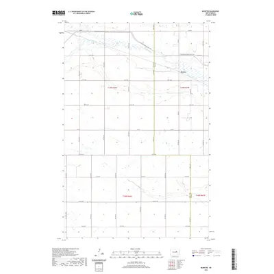
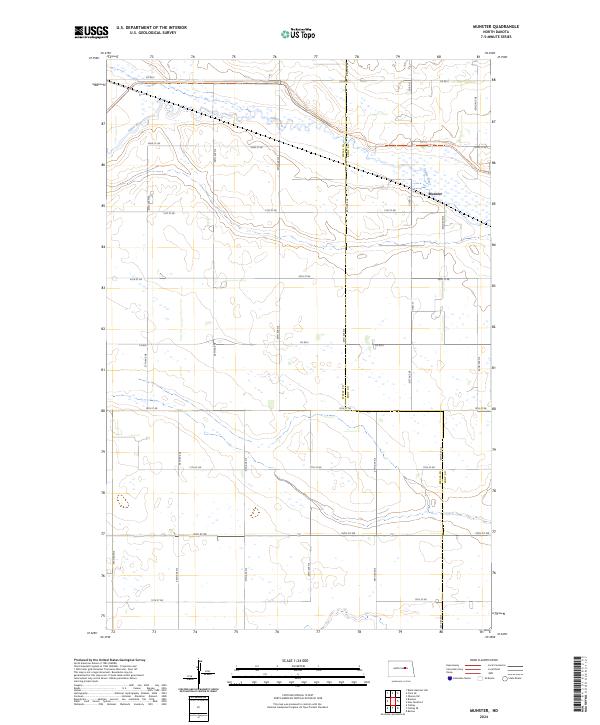
1949 Munster
Wells County, ND
1950 Manfred NW
Wells County, ND
1950 Manfred SE
Wells County, ND
1950 Manfred SW
Wells County, ND
1950 Manfred
Wells County, ND

1950 Wellsburg
Wells County, ND
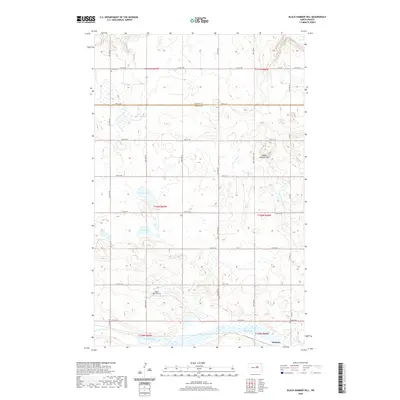
1951 Black Hammer Hill
Wells County, ND
1951 Dover
Wells County, ND
1951 Flora SE
Wells County, ND
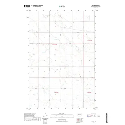
1951 Heaton
Wells County, ND
1978 Chaseley
Wells County, ND
1986 Wellsburg
Wells County, ND
2011 Black Hammer Hill
Wells County, ND
2011 Bremen
Wells County, ND
2011 Cathay SE
Wells County, ND
2011 Chaseley
Wells County, ND
2011 Dover
Wells County, ND
2011 Emrick
Wells County, ND
2011 Fessenden East
Wells County, ND
2011 Fessenden SW
Wells County, ND
2011 Fessenden West
Wells County, ND
2011 Flora SE
Wells County, ND
2011 Heaton
Wells County, ND
2011 Manfred NW
Wells County, ND
2011 Manfred SE
Wells County, ND
2011 Manfred SW
Wells County, ND
2011 Manfred
Wells County, ND
2011 Munster
Wells County, ND
2011 Wellsburg
Wells County, ND
2014 Black Hammer Hill
Wells County, ND
2014 Bremen
Wells County, ND
2014 Cathay SE
Wells County, ND
2014 Chaseley
Wells County, ND
2014 Dover
Wells County, ND
2014 Emrick
Wells County, ND
2014 Fessenden East
Wells County, ND
2014 Fessenden SW
Wells County, ND
2014 Fessenden West
Wells County, ND
2014 Flora SE
Wells County, ND
2014 Heaton
Wells County, ND
2014 Manfred NW
Wells County, ND
2014 Manfred SE
Wells County, ND
2014 Manfred SW
Wells County, ND
2014 Manfred
Wells County, ND
2014 Munster
Wells County, ND
2014 Wellsburg
Wells County, ND
2017 Chaseley
Wells County, ND
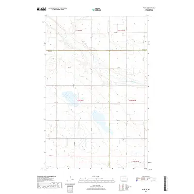
2017 Flora SE
Wells County, ND
2017 Munster
Wells County, ND
2017 Wellsburg
Wells County, ND
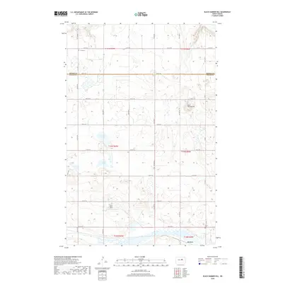
2018 Black Hammer Hill
Wells County, ND
2018 Bremen
Wells County, ND
2018 Cathay SE
Wells County, ND
2018 Dover
Wells County, ND
2018 Emrick
Wells County, ND
2018 Fessenden East
Wells County, ND
2018 Fessenden SW
Wells County, ND
2018 Fessenden West
Wells County, ND
2018 Heaton
Wells County, ND
2018 Manfred NW
Wells County, ND
2018 Manfred SE
Wells County, ND
2018 Manfred SW
Wells County, ND
2018 Manfred
Wells County, ND
2020 Black Hammer Hill
Wells County, ND
2020 Bremen
Wells County, ND
2020 Cathay SE
Wells County, ND
2020 Chaseley
Wells County, ND
2020 Dover
Wells County, ND
2020 Emrick
Wells County, ND
2020 Fessenden East
Wells County, ND
2020 Fessenden SW
Wells County, ND
2020 Fessenden West
Wells County, ND
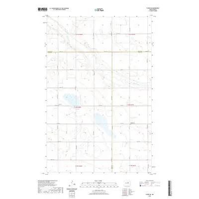
2020 Flora SE
Wells County, ND
2020 Heaton
Wells County, ND
2020 Manfred NW
Wells County, ND
2020 Manfred SE
Wells County, ND
2020 Manfred SW
Wells County, ND
2020 Manfred
Wells County, ND
2020 Munster
Wells County, ND
2020 Wellsburg
Wells County, ND
2024 Black Hammer Hill
Wells County, ND
2024 Bremen
Wells County, ND
2024 Cathay SE
Wells County, ND
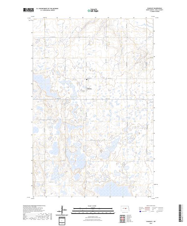
2024 Chaseley
Wells County, ND
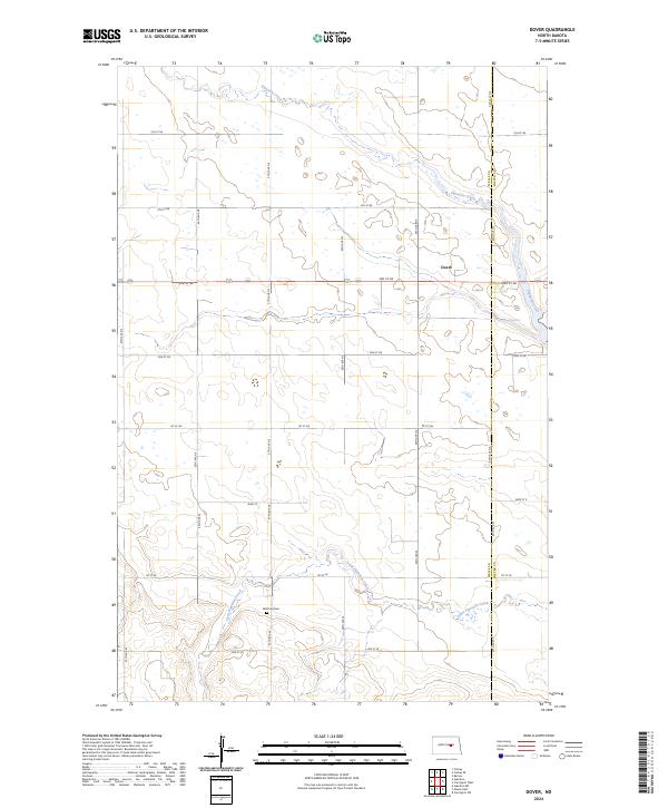
2024 Dover
Wells County, ND
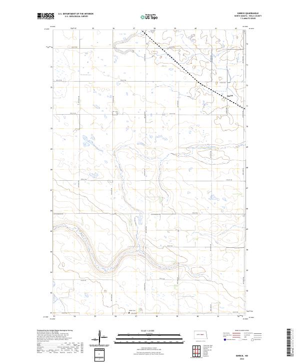
2024 Emrick
Wells County, ND
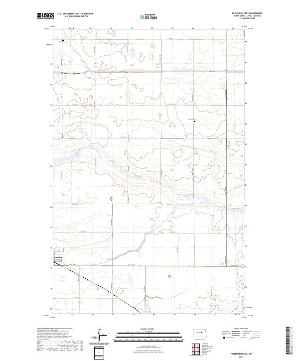
2024 Fessenden East
Wells County, ND
2024 Fessenden SW
Wells County, ND
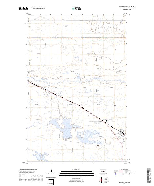
2024 Fessenden West
Wells County, ND
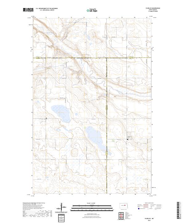
2024 Flora SE
Wells County, ND
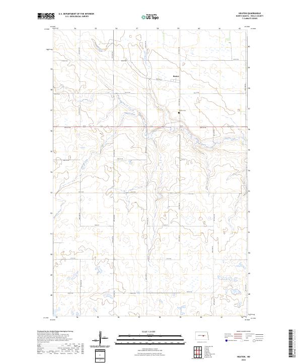
2024 Heaton
Wells County, ND
2024 Manfred NW
Wells County, ND
2024 Manfred SE
Wells County, ND
2024 Manfred SW
Wells County, ND
2024 Manfred
Wells County, ND
2024 Munster
Wells County, ND
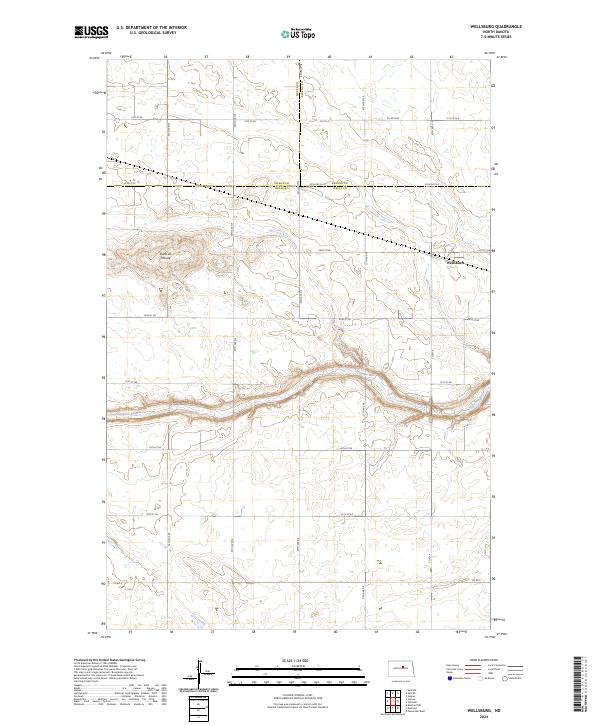
2024 Wellsburg
Wells County, ND