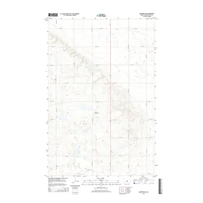
2014 Map of Manfred SW
USGS Topo · Published 2014About this map
Crystal Lake sits at the heart of this Wells County landscape, a prominent water feature in a region defined by glacial prairie potholes and shifting elevations. The headwaters of the James River cross the southeastern corner, reflecting the drainage patterns of the northern Great Plains. This 2014 survey captures a rural environment structured by a precise grid of section-line roads, including 28th Ave NE and 10th St NE, which serve the agricultural interests of the region. A notable point of localized aviation infrastructure is the R Leep Strip Airport, a private landing strip situated just west of State Highway ND-3. The map documents the enduring rural character of North Dakota, where the interplay between natural hydrology and the rectilinear township and range system remains the primary landscape feature.
Find a feature on this map
18 named features on this map. Tap any name to fly to it.
Don’t see what you’re looking for? This feature index may not catch every label — zoom into the map to look around manually.
Map Details
Editions of this 2014 Manfred SW Map
This is the sole edition of this map. No revisions or reprints were ever made.
Other maps of this area

1945 · Manfred
USGS Topo · 1:62,500

1946 · Sheyenne Lake
USGS Topo · 1:48,000

1947 · Sheyenne Lake
USGS Topo · 1:62,500

1948 · Manfred
USGS Topo · 1:62,500

1949 · Manfred SW
USGS Topo · 1:24,000

1950 · Manfred SE
USGS Topo · 1:24,000

1950 · Manfred NW
USGS Topo · 1:24,000

1950 · Sheyenne Lake NE
USGS Topo · 1:24,000

1950 · Manfred
USGS Topo · 1:24,000

1950 · Manfred SW
USGS Topo · 1:24,000