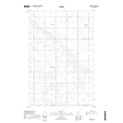
2018 Map of Manfred SW
USGS Topo · Published 2018About this map
Crystal Lake and the nascent headwaters of the James River define this rural landscape in central North Dakota. The area is characterized by a high concentration of prairie potholes and small depressions, typical of the glacial till plains. A rigid section-line road network, including thoroughfares like 14th St NE and 26th Ave NE, provides the primary structure for the agricultural operations that dominate the township. The drainage pattern is complex and localized, with seasonal water bodies scattered across the terrain, illustrating the hydrologic character of the Missouri Coteau region. This survey captures the topographical nuances of Wells County as they appeared in 2018, showing the relationship between modern land use and the natural glaciated surface.
Find a feature on this map
23 named features on this map. Tap any name to fly to it.
Don’t see what you’re looking for? This feature index may not catch every label — zoom into the map to look around manually.
Map Details
Editions of this 2018 Manfred SW Map
This is the sole edition of this map. No revisions or reprints were ever made.
Other maps of this area

1945 · Manfred
USGS Topo · 1:62,500

1946 · Sheyenne Lake
USGS Topo · 1:48,000

1947 · Sheyenne Lake
USGS Topo · 1:62,500

1948 · Manfred
USGS Topo · 1:62,500

1949 · Manfred SW
USGS Topo · 1:24,000

1950 · Manfred SE
USGS Topo · 1:24,000

1950 · Manfred NW
USGS Topo · 1:24,000

1950 · Sheyenne Lake NE
USGS Topo · 1:24,000

1950 · Manfred
USGS Topo · 1:24,000

1950 · Manfred SW
USGS Topo · 1:24,000