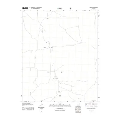
2011 Map of Mangas
USGS Topo · Published 2011About this map
Mangas Creek carves a path through this high-altitude landscape in Catron County, anchoring a series of small ranching outposts and named draws. The settlement of Mangas serves as a central point, supported by nearby family-named locales such as Baca, Leyba, and Smith. Genealogical interest is centered on the Mangas Cemetery and the established Mangas Ranch, which indicate long-standing land use in this arid region. The drainage patterns of the terrain are clearly defined by features like Hubble Draw and Canon del Macho, illustrating how water and geography dictated the placement of roads like County Rd A95 and County Rd 214. The road network consists primarily of unimproved routes and Forest Service roads, reflecting the quiet, rural character of the area at the beginning of the 21st century.
Find a feature on this map
24 named features on this map. Tap any name to fly to it.
Don’t see what you’re looking for? This feature index may not catch every label — zoom into the map to look around manually.
Map Details
Editions of this 2011 Mangas Map
This is the sole edition of this map. No revisions or reprints were ever made.
Other maps of this area

1954 · Saint Johns
USGS Topo · 1:250,000

1957 · Saint Johns
USGS Topo · 1:250,000

1958 · Saint Johns
USGS Topo · 1:250,000

1962 · Saint Johns
USGS Topo · 1:250,000
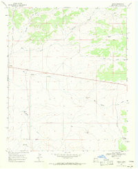
1967 · Omega
USGS Topo · 1:24,000
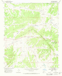
1967 · Pie Town
USGS Topo · 1:24,000
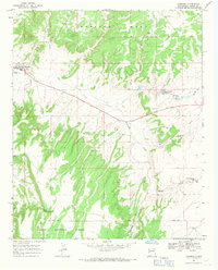
1967 · Quemado
USGS Topo · 1:24,000
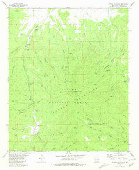
1981 · Mangas Mountain
USGS Topo · 1:24,000
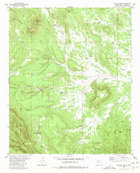
1981 · Wallace Mesa
USGS Topo · 1:24,000
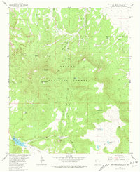
1981 · Escondido Mountain
USGS Topo · 1:24,000