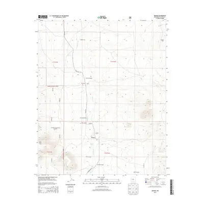
2013 Map of Mangas
USGS Topo · Published 2013About this map
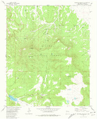
The high-desert drainage of Mangas Cr defines this territory in Catron County, where ranching and natural springs have sustained a series of small outposts. This 2013 survey documents the enduring settlement of Mangas, which sits near the Mangas Cem and several family-named locations such as Mangas Ranch, Reid, and Leyba. The landscape is heavily dissected by numerous canyons and draws, including Baca Canyon, Descalso Canyon, and Muncie Draw, showing the intricate topography of the Apache National Forest. Reliable water sources like Mangas Springs and San Jose Spring appear as vital points in an otherwise arid environment. Transportation through this part of the Gila region relies on corridors like CO Road A95 and 214 Forest Service, which connect the scattered homesteads and ranching sites across the rugged terrain.
Find a feature on this map
31 named features on this map. Tap any name to fly to it.
Don’t see what you’re looking for? This feature index may not catch every label — zoom into the map to look around manually.
Map Details
Editions of this 2013 Mangas Map
This is the sole edition of this map. No revisions or reprints were ever made.
Other maps of this area

1954 · Saint Johns
USGS Topo · 1:250,000

1957 · Saint Johns
USGS Topo · 1:250,000

1958 · Saint Johns
USGS Topo · 1:250,000

1962 · Saint Johns
USGS Topo · 1:250,000

1967 · Omega
USGS Topo · 1:24,000
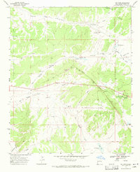
1967 · Pie Town
USGS Topo · 1:24,000

1967 · Quemado
USGS Topo · 1:24,000
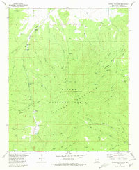
1981 · Mangas Mountain
USGS Topo · 1:24,000
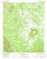
1981 · Wallace Mesa
USGS Topo · 1:24,000
1981 · Escondido Mountain
USGS Topo · 1:24,000