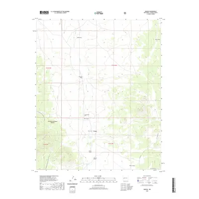
2020 Map of Mangas
USGS Topo · Published 2020About this map
Mangas sits as the central point of this high-altitude landscape in Catron County, where the topography is defined by the ephemeral flows of Mangas Cr and its many tributary draws. The presence of the Mangas Cem and the nearby Mangas Springs suggests the enduring importance of this site as a hub for local settlement and water access in an arid region. The western portion of the map is dominated by the Apache National Forest, through which the Continental Divide National Scenic Trail winds its way south. Deep canyons like Baca Canyon, Killion Canyon, and Descalso Canyon break the terrain, illustrating the complex drainage systems that feed toward the Hubble Draw and Muncie Draw. The map documents a sparsely populated but geographically significant portion of the Southwest where ranching and forest management define the land use.
Find a feature on this map
21 named features on this map. Tap any name to fly to it.
Don’t see what you’re looking for? This feature index may not catch every label — zoom into the map to look around manually.
Map Details
Editions of this 2020 Mangas Map
This is the sole edition of this map. No revisions or reprints were ever made.
Other maps of this area

1954 · Saint Johns
USGS Topo · 1:250,000

1957 · Saint Johns
USGS Topo · 1:250,000

1958 · Saint Johns
USGS Topo · 1:250,000

1962 · Saint Johns
USGS Topo · 1:250,000
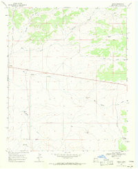
1967 · Omega
USGS Topo · 1:24,000
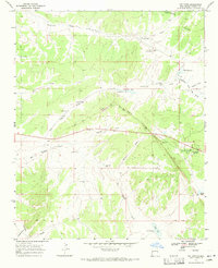
1967 · Pie Town
USGS Topo · 1:24,000
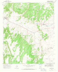
1967 · Quemado
USGS Topo · 1:24,000
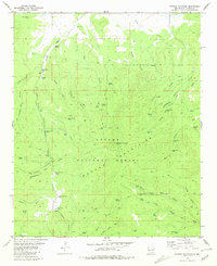
1981 · Mangas Mountain
USGS Topo · 1:24,000
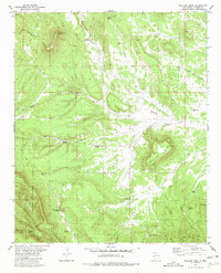
1981 · Wallace Mesa
USGS Topo · 1:24,000
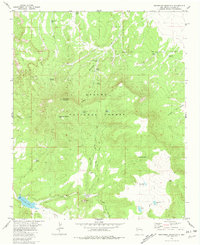
1981 · Escondido Mountain
USGS Topo · 1:24,000