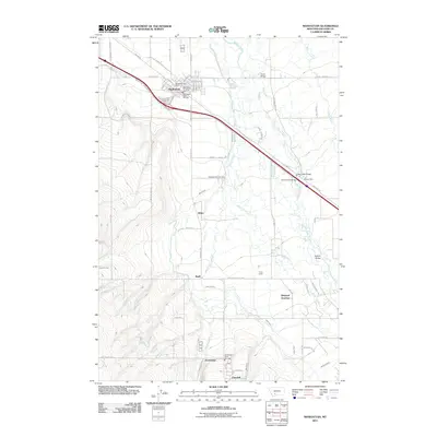
2011 Map of Manhattan
USGS Topo · Published 2011About this map
Manhattan sits at the heart of this agricultural region in Gallatin County, serving as a central hub north of the Amsterdam and Churchill communities. The landscape is defined by an intricate network of irrigation features such as the Lowline Canal, White Ditch, and Moreland Ditch, which support the farms connected by a grid of rural roads like Wooden Shoe Rd and Churchill Rd. The Gallatin River winds through the eastern portion of the map, crossed by several notable spans including Kinkle Bridge, Ray Angel Bridge, and Blakely Bridge. Historically significant sites for local researchers include the Meadowview Cemetery and the Manhattan Post Office, alongside smaller named settlements like Buell and White. The presence of the Belgrade Junction and numerous fire departments, such as the Manhattan Rural Fire Dist, reflects the organized development of these Montana townships during the early 21st century.
Find a feature on this map
62 named features on this map. Tap any name to fly to it.
Don’t see what you’re looking for? This feature index may not catch every label — zoom into the map to look around manually.
Map Details
Editions of this 2011 Manhattan Map
This is the sole edition of this map. No revisions or reprints were ever made.
Other maps of this area

1888 · Three Forks
USGS Topo · 1:250,000

1894 · Three Forks
USGS Topo · 1:250,000

1895 · Three Forks
USGS Topo · 1:250,000

1947 · Bozeman
USGS Topo · 1:250,000

1948 · Bozeman
USGS Topo · 1:250,000

1949 · Anceney
USGS Topo · 1:62,500

1949 · Manhattan
USGS Topo · 1:62,500

1950 · Belgrade
USGS Topo · 1:62,500

1953 · Bozeman
USGS Topo · 1:62,500

1955 · Bozeman
USGS Topo · 1:250,000